Explore Southwold Brought to you by Blythweb Ltd (now part of MHCreations)

Southwold Rooftop Panorama

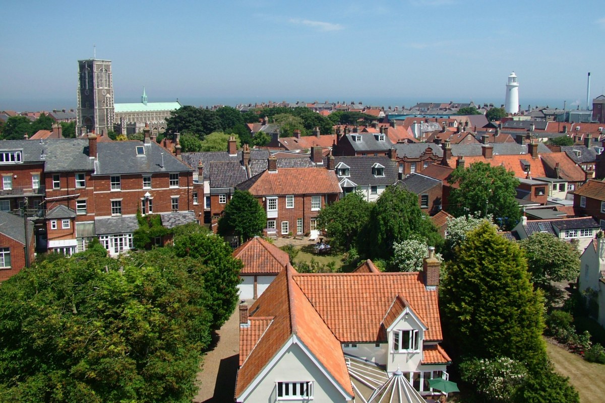
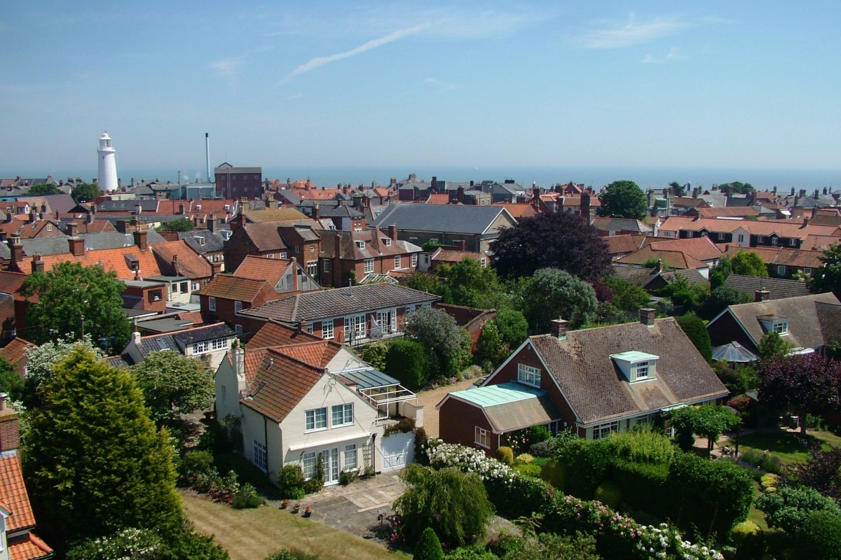
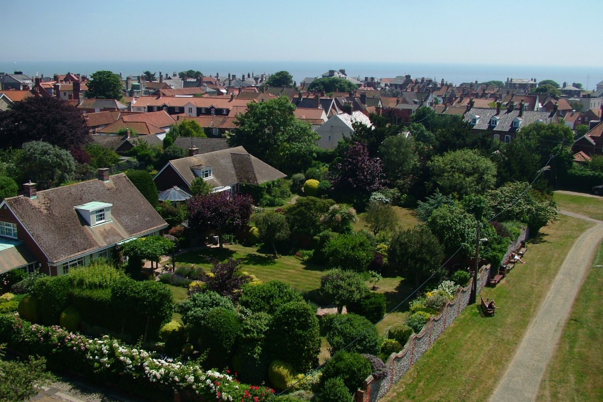
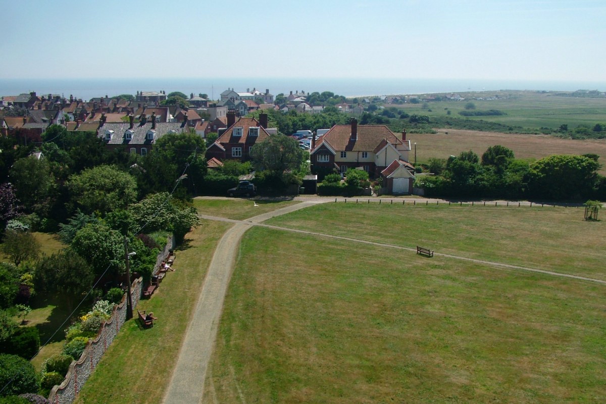
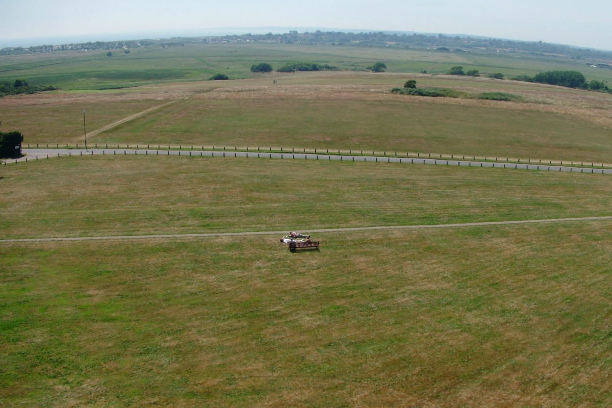
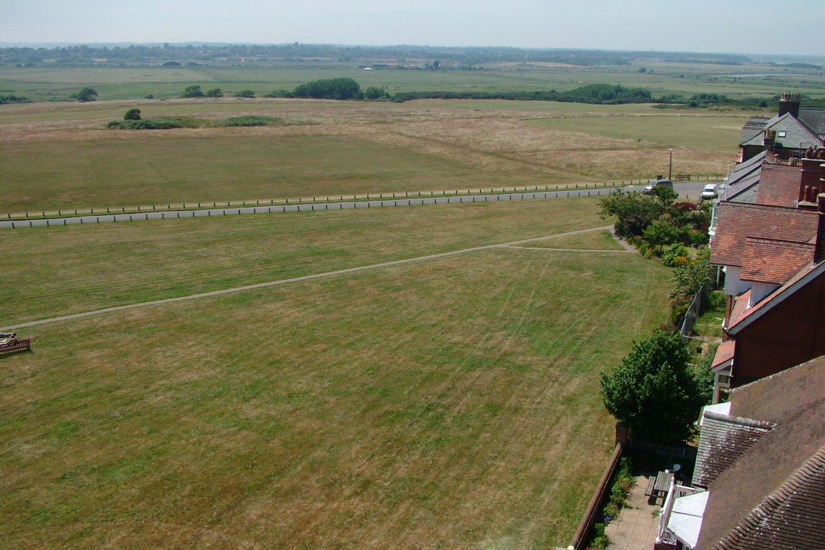
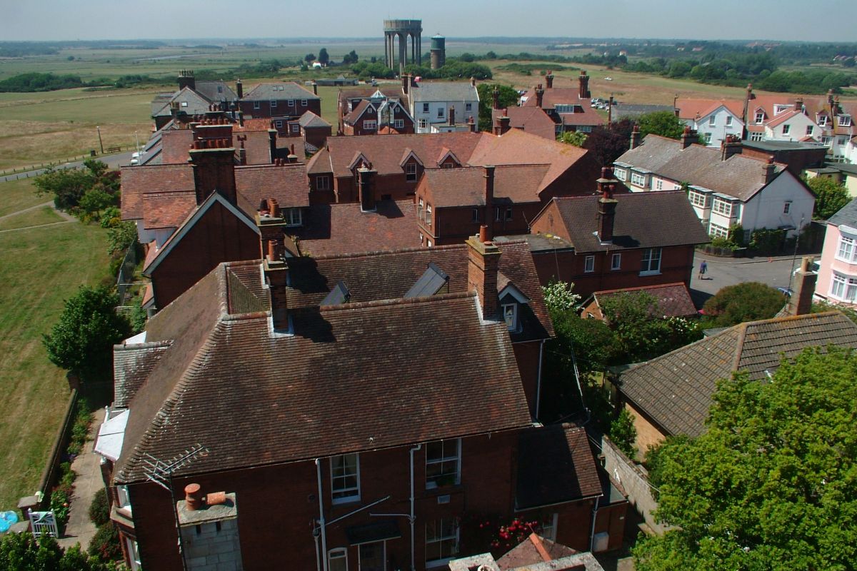
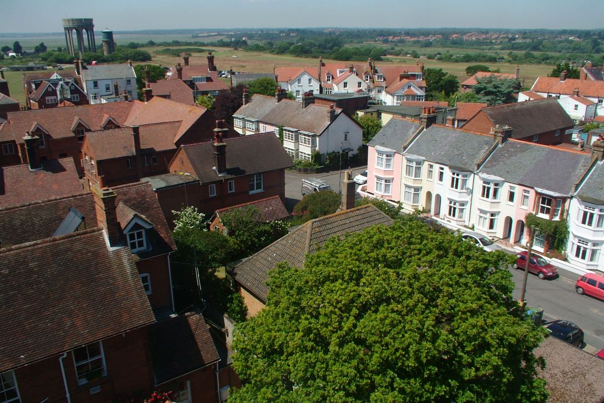
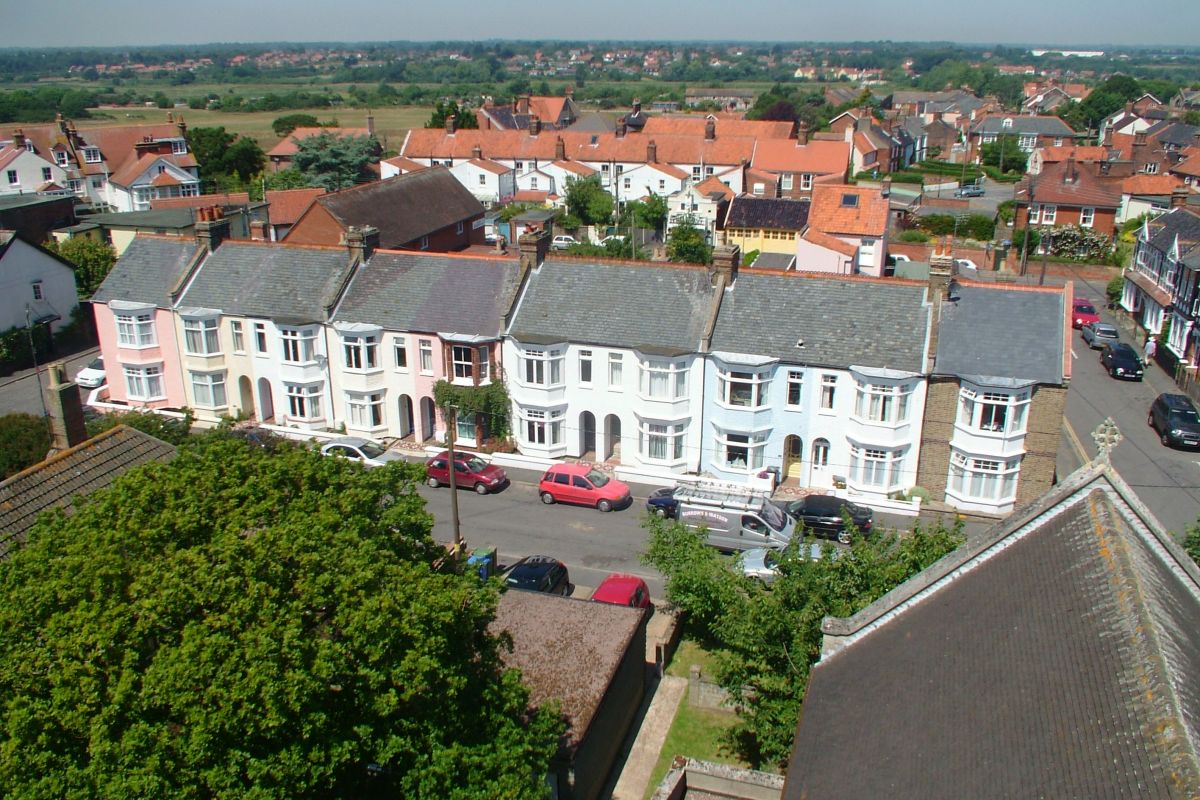
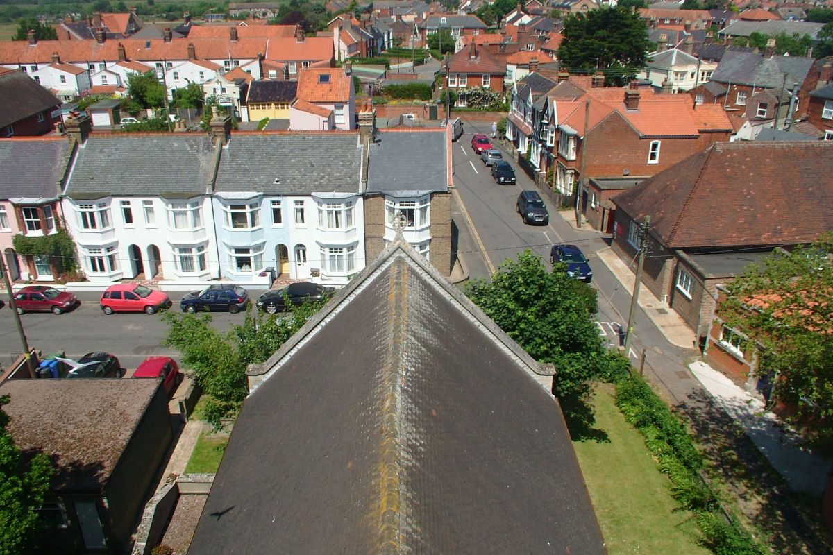
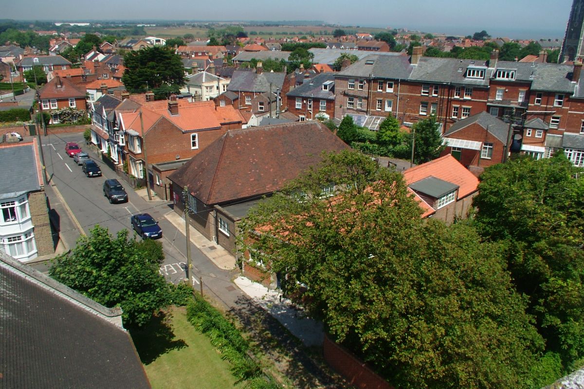
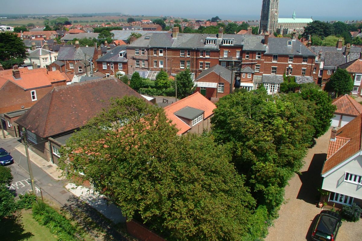
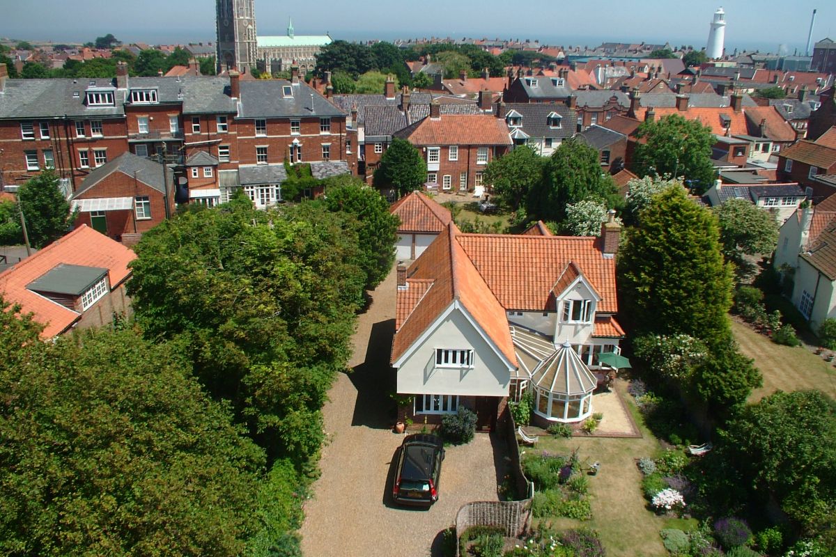
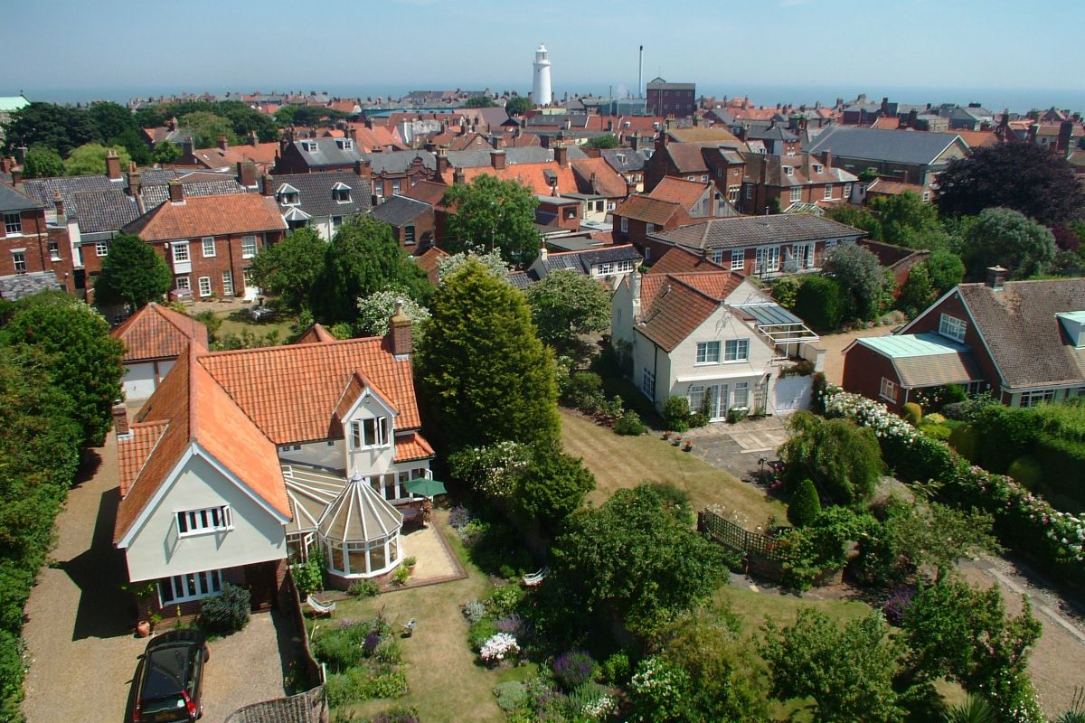
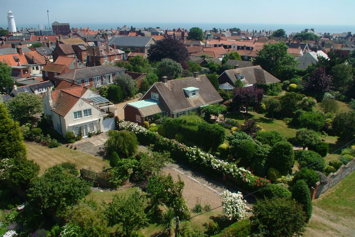
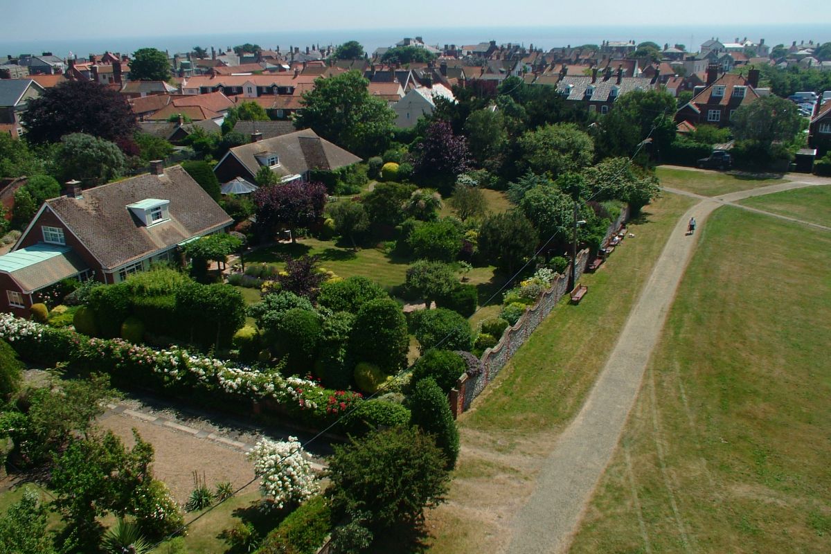
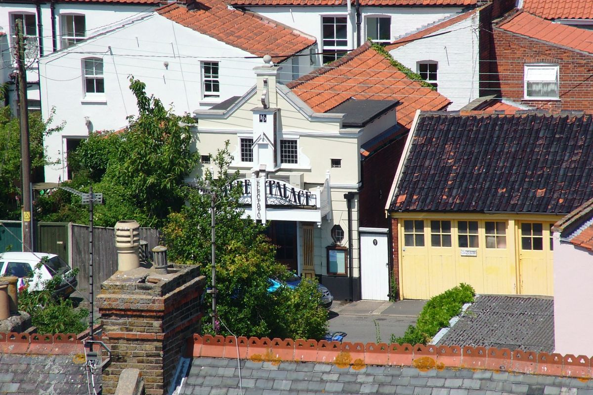
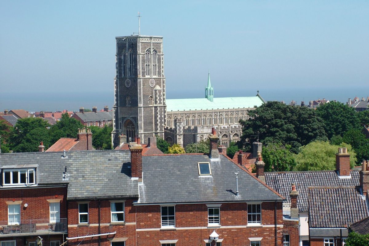
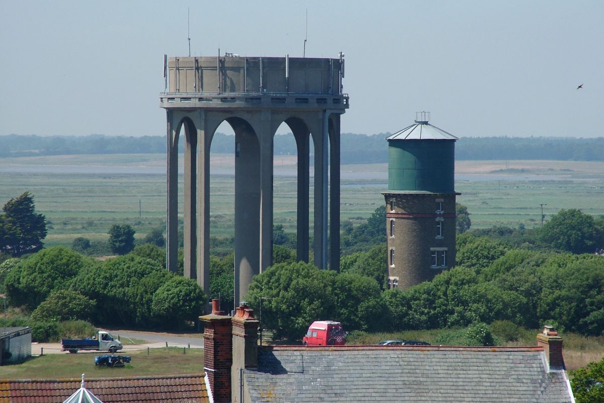
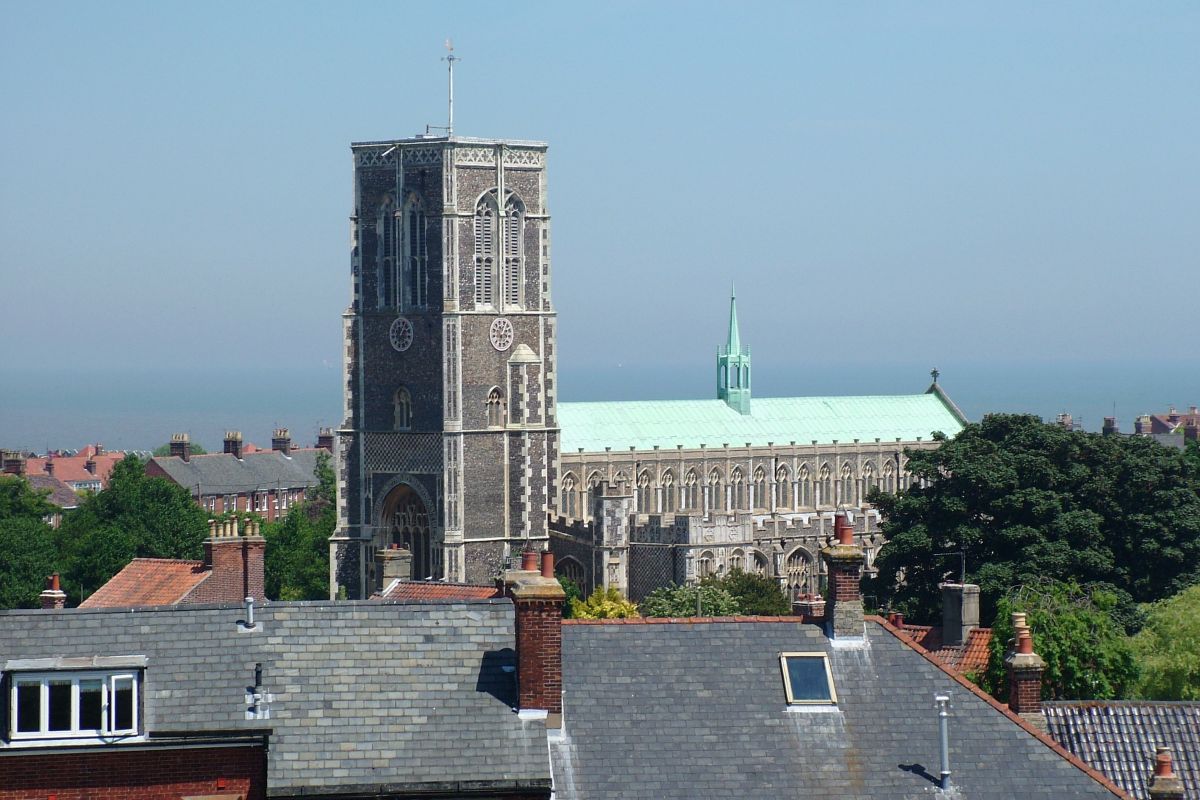
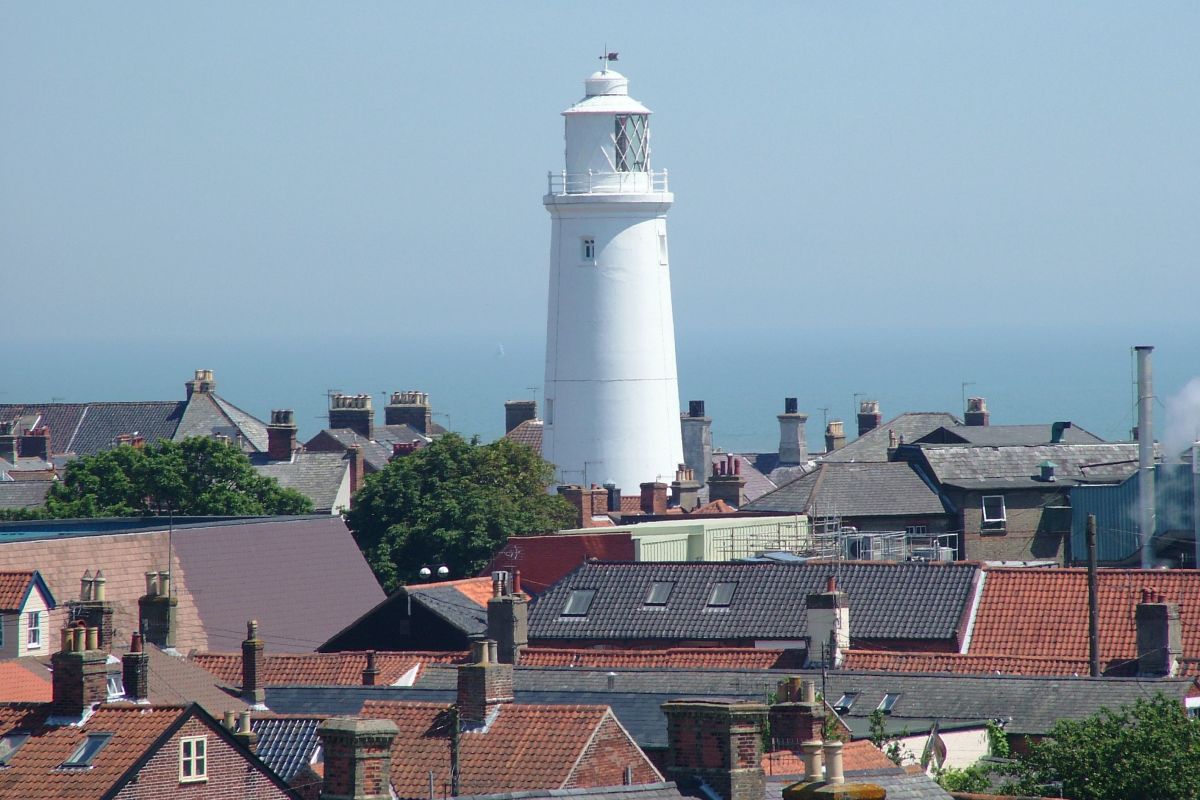
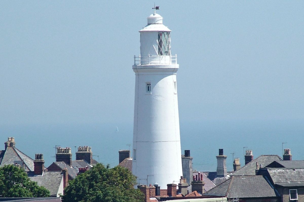
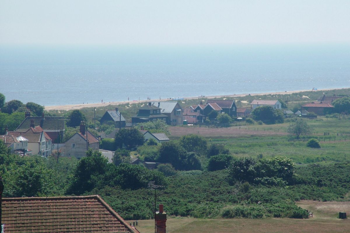
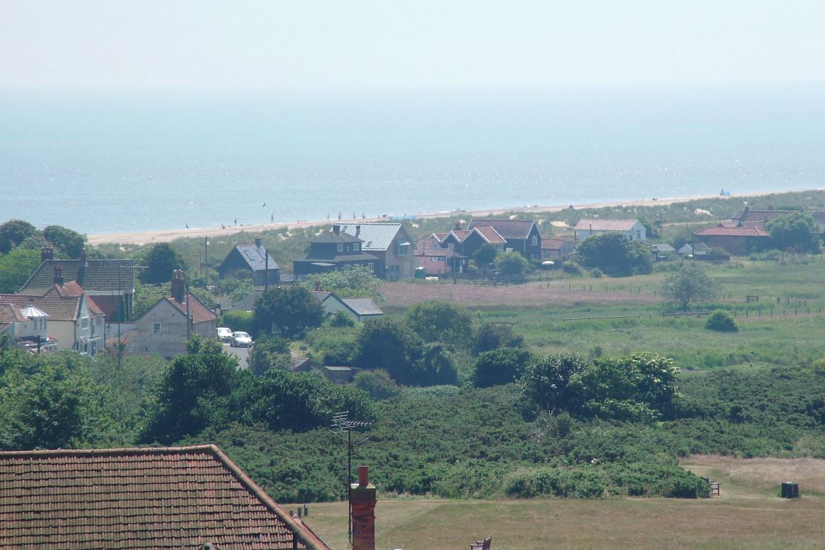
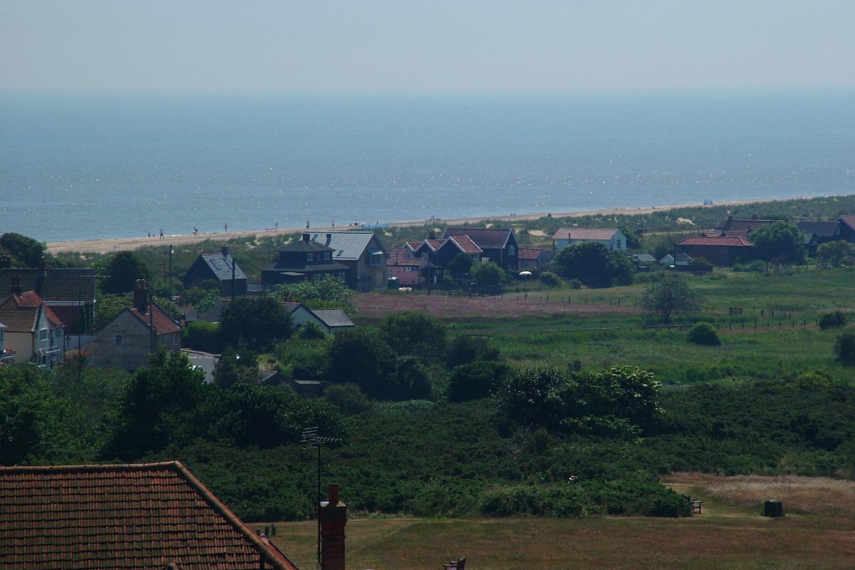
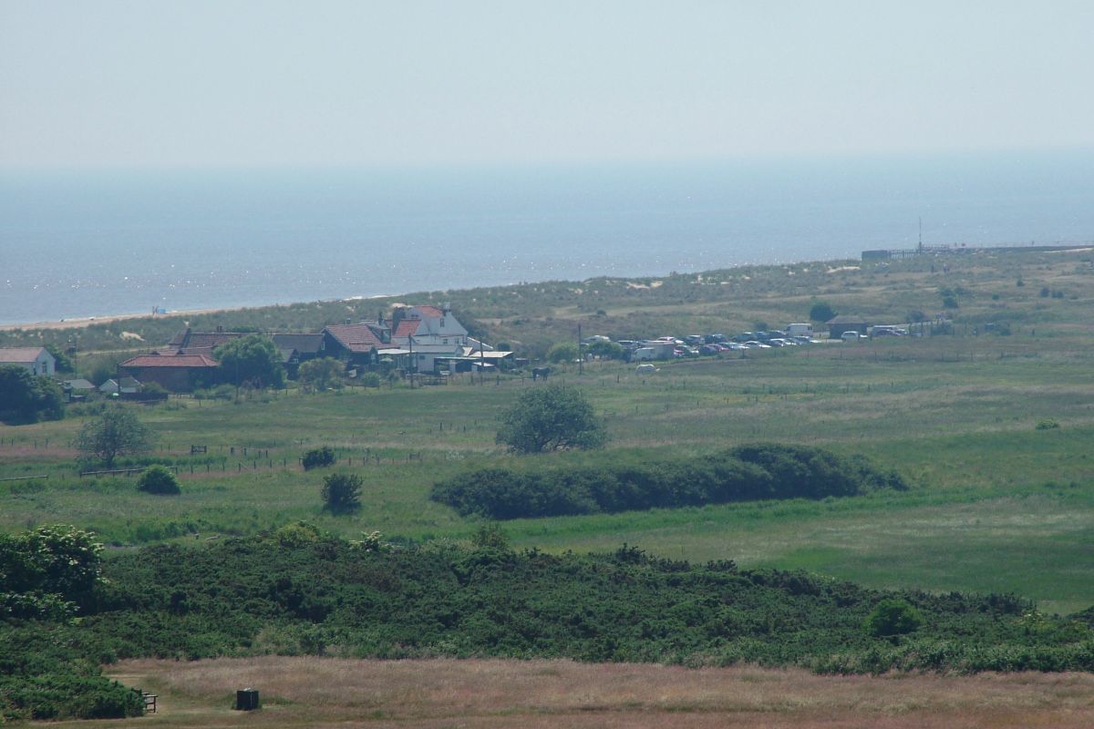
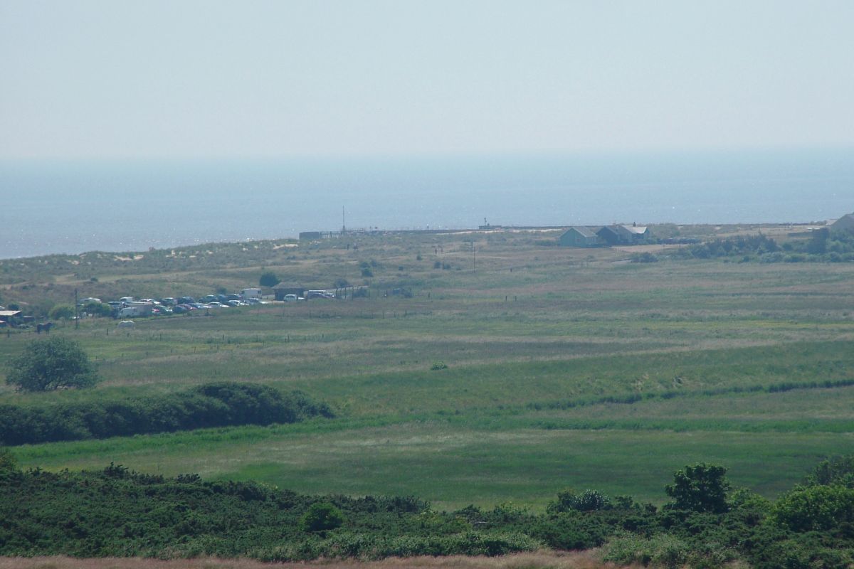
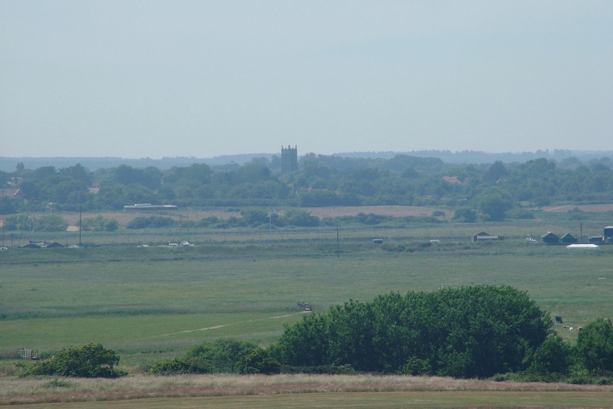
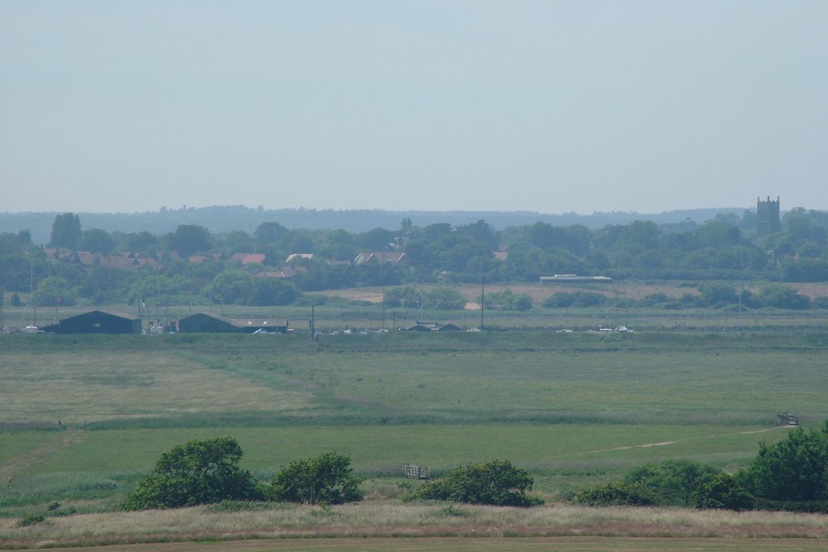
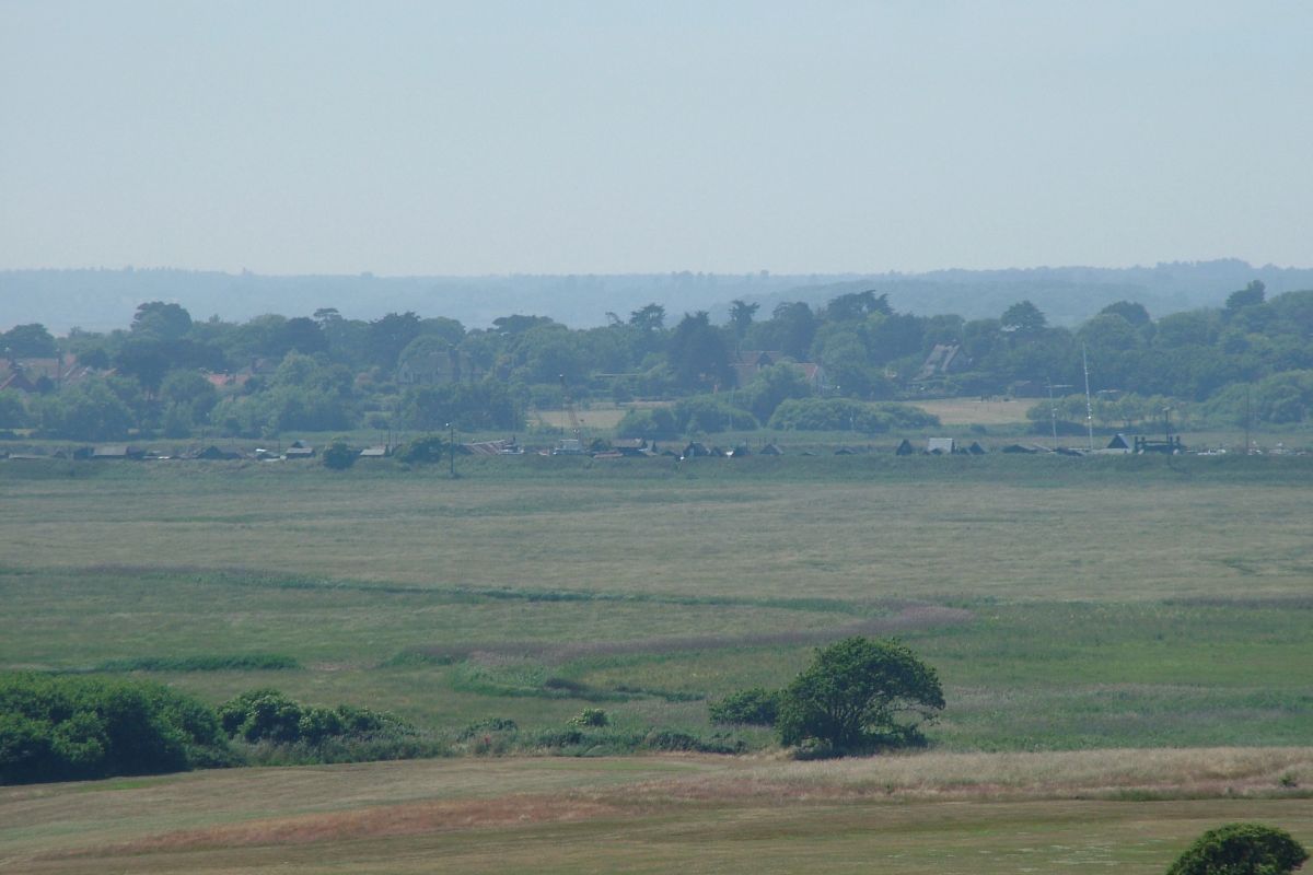
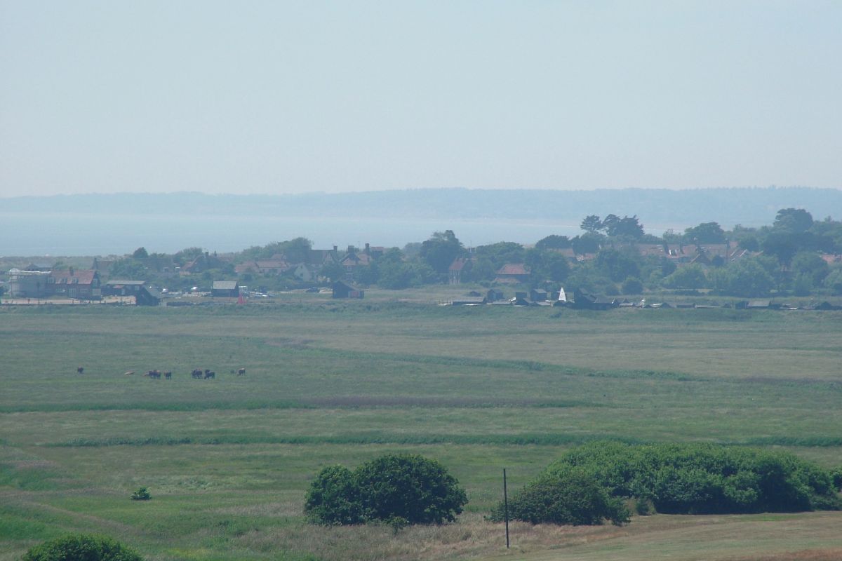
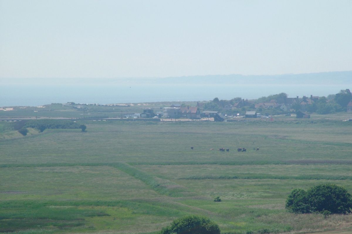
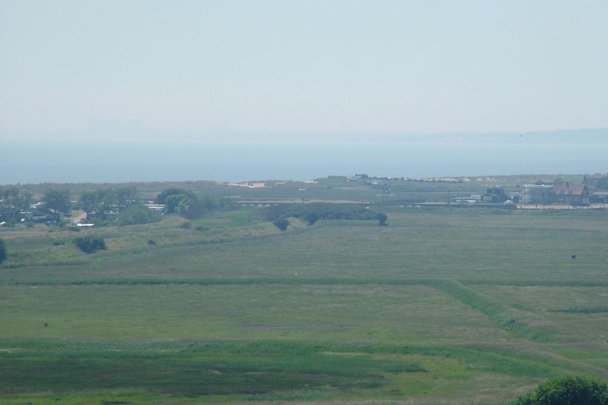
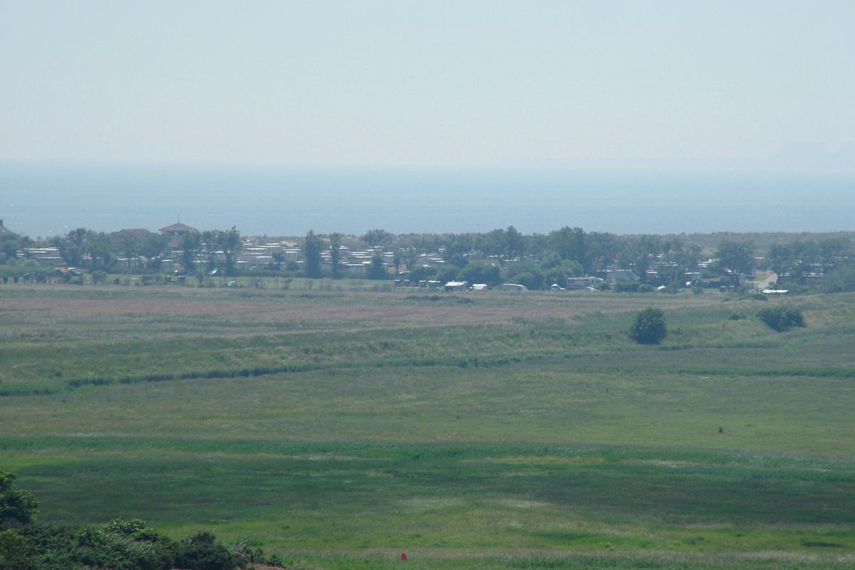
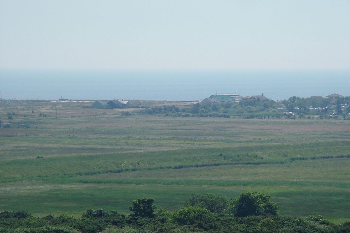
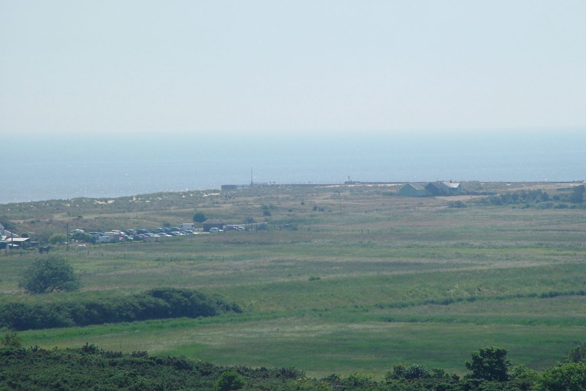
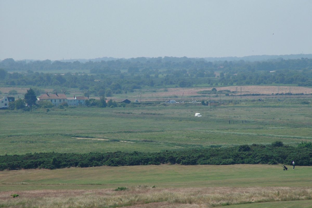
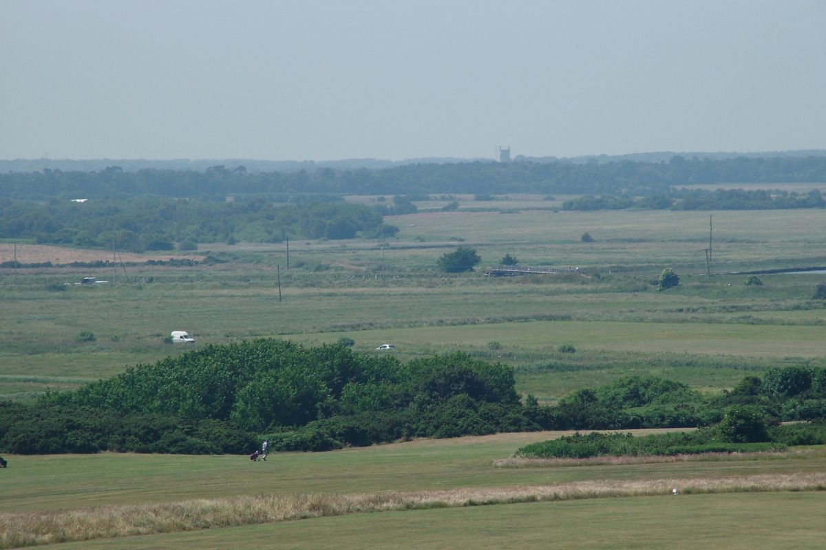
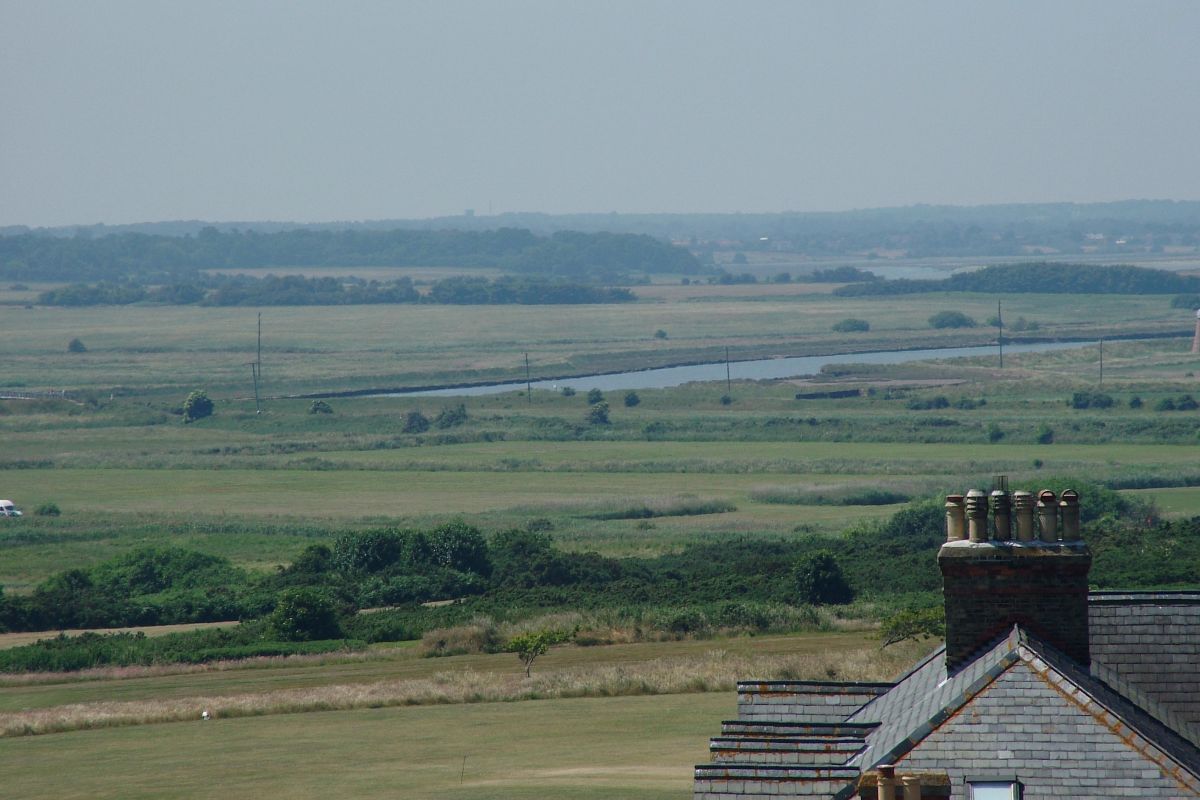
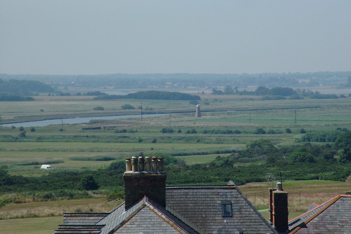
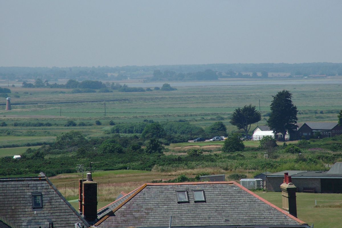
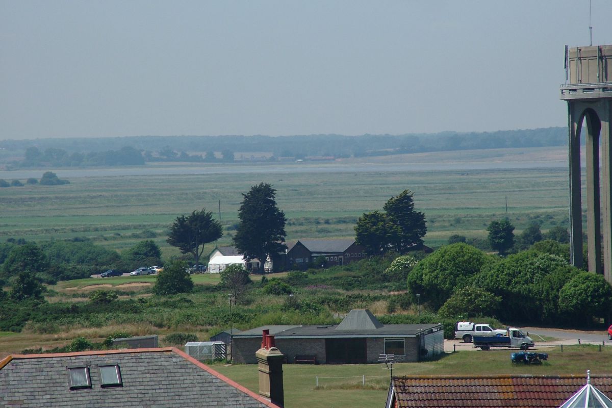
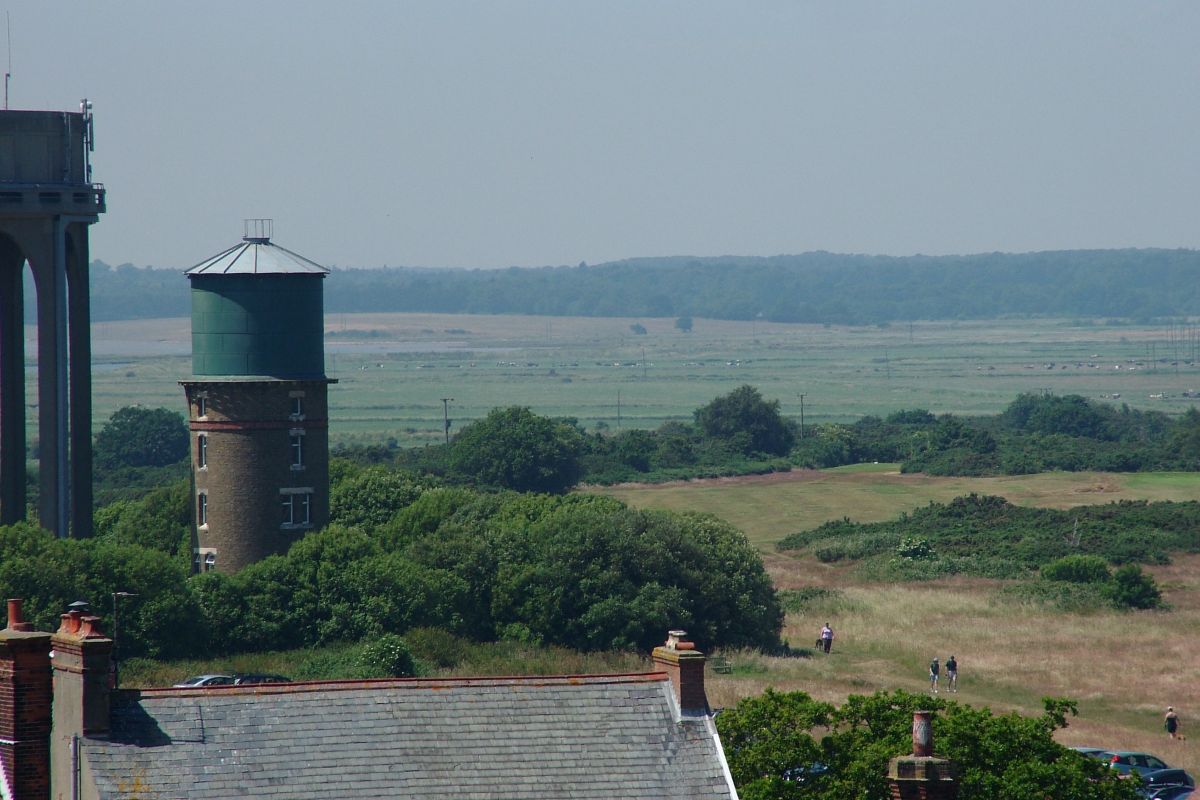
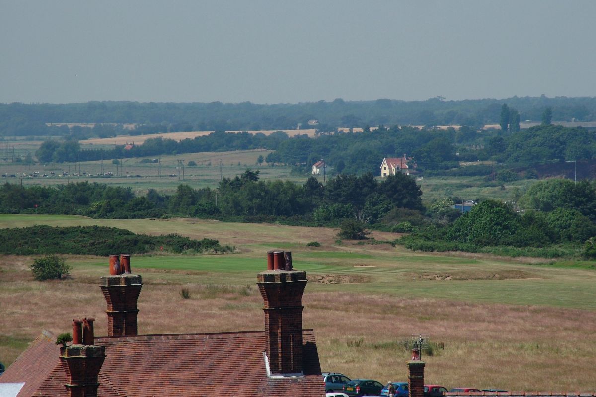
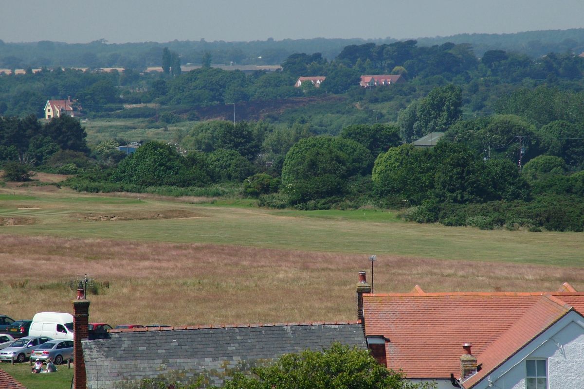
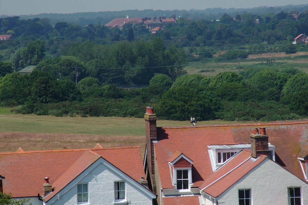
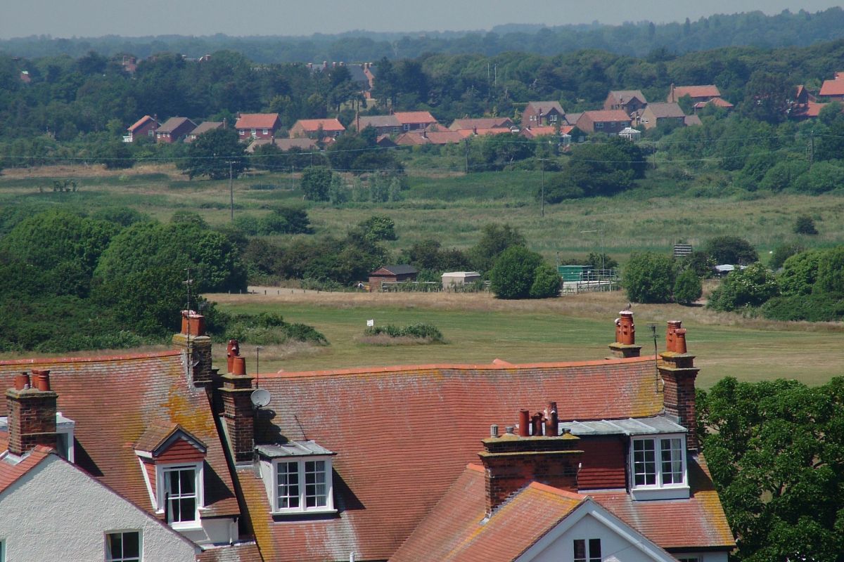
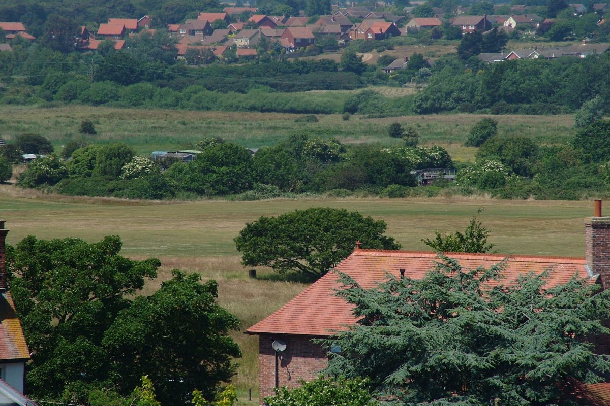
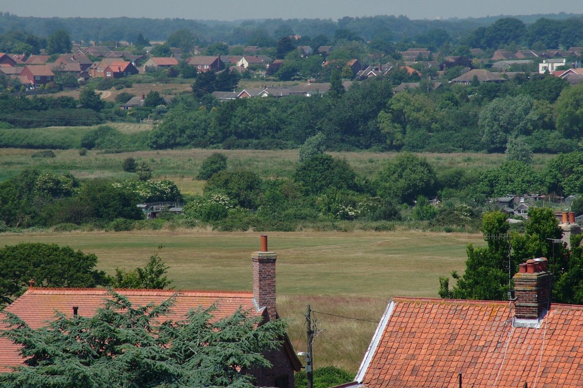
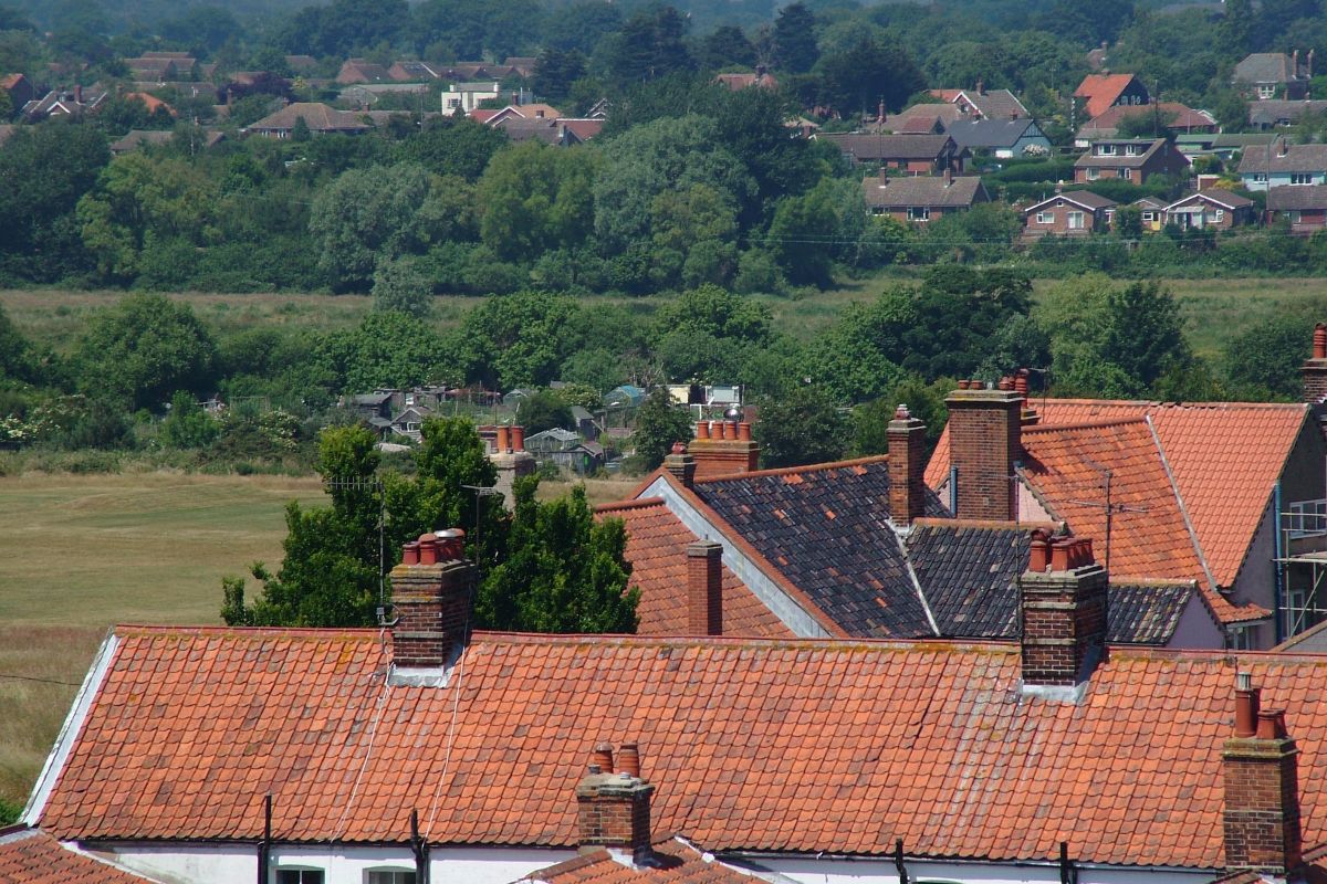
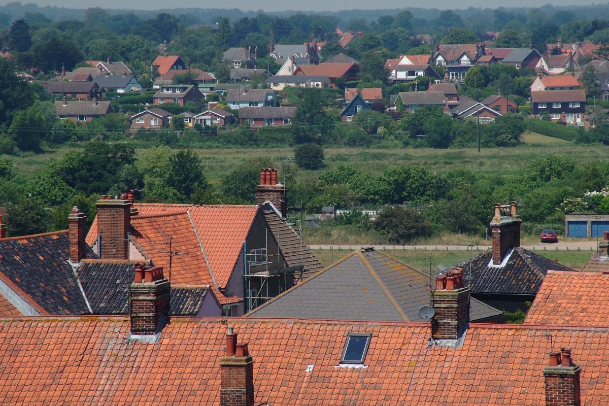
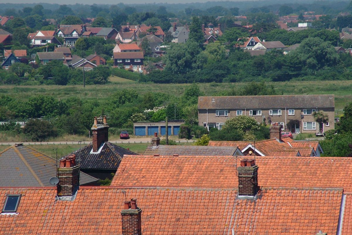
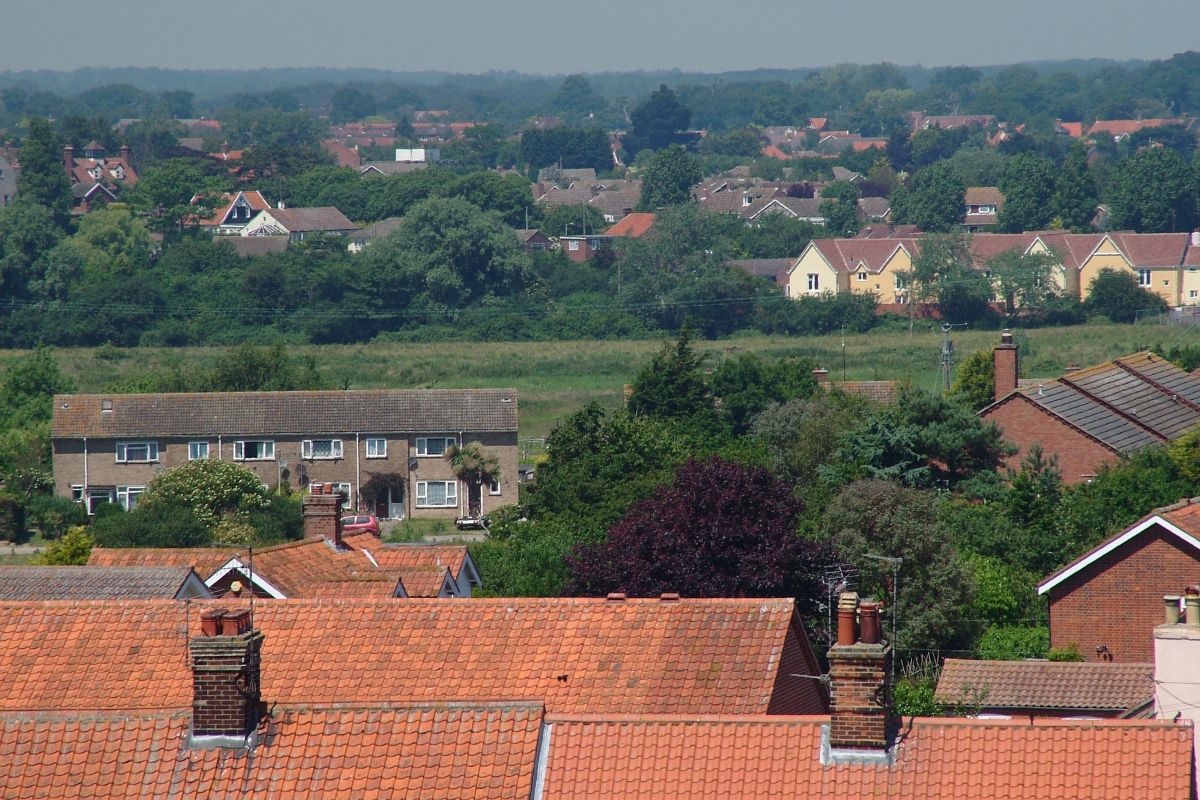
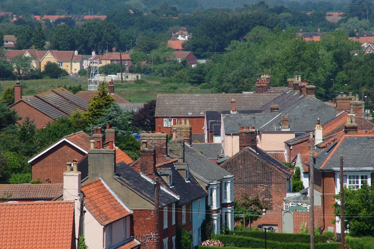
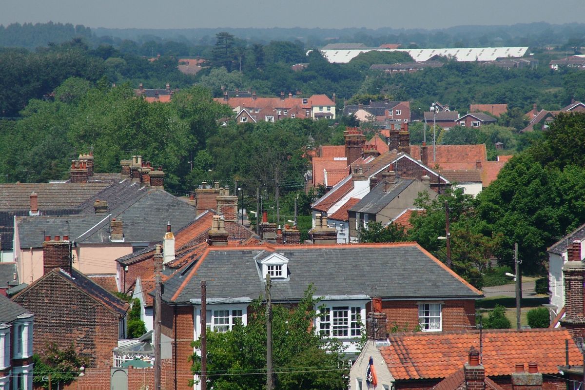
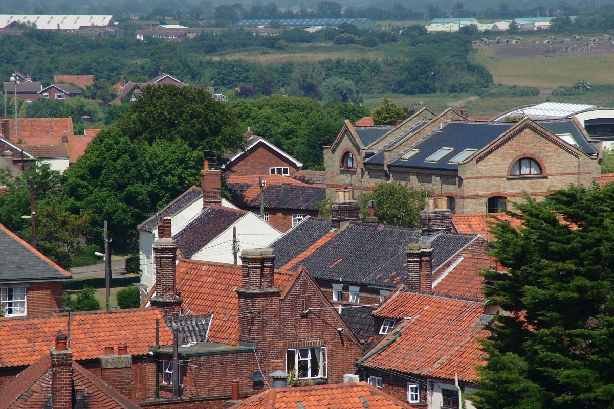
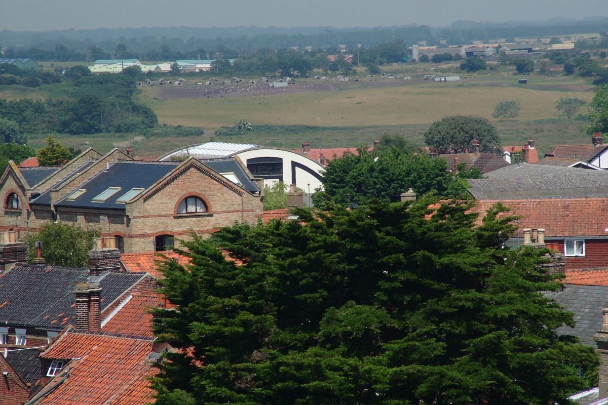
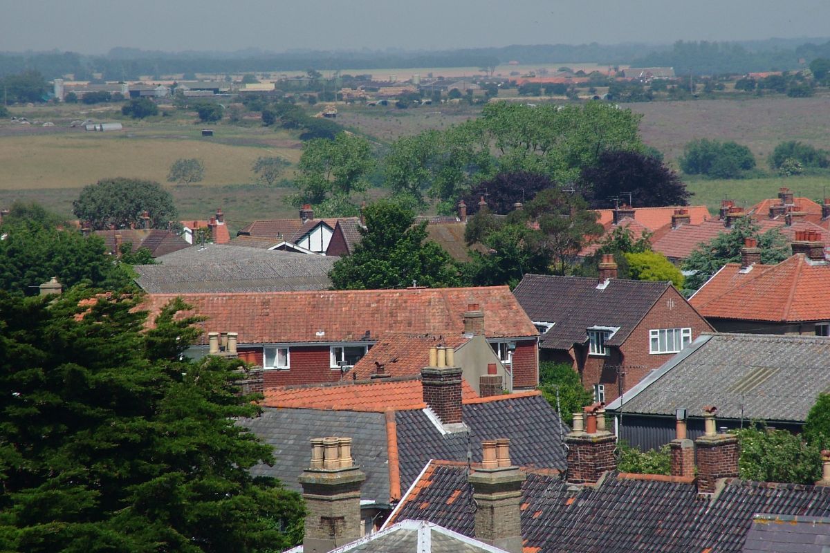
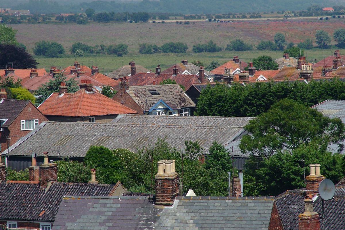
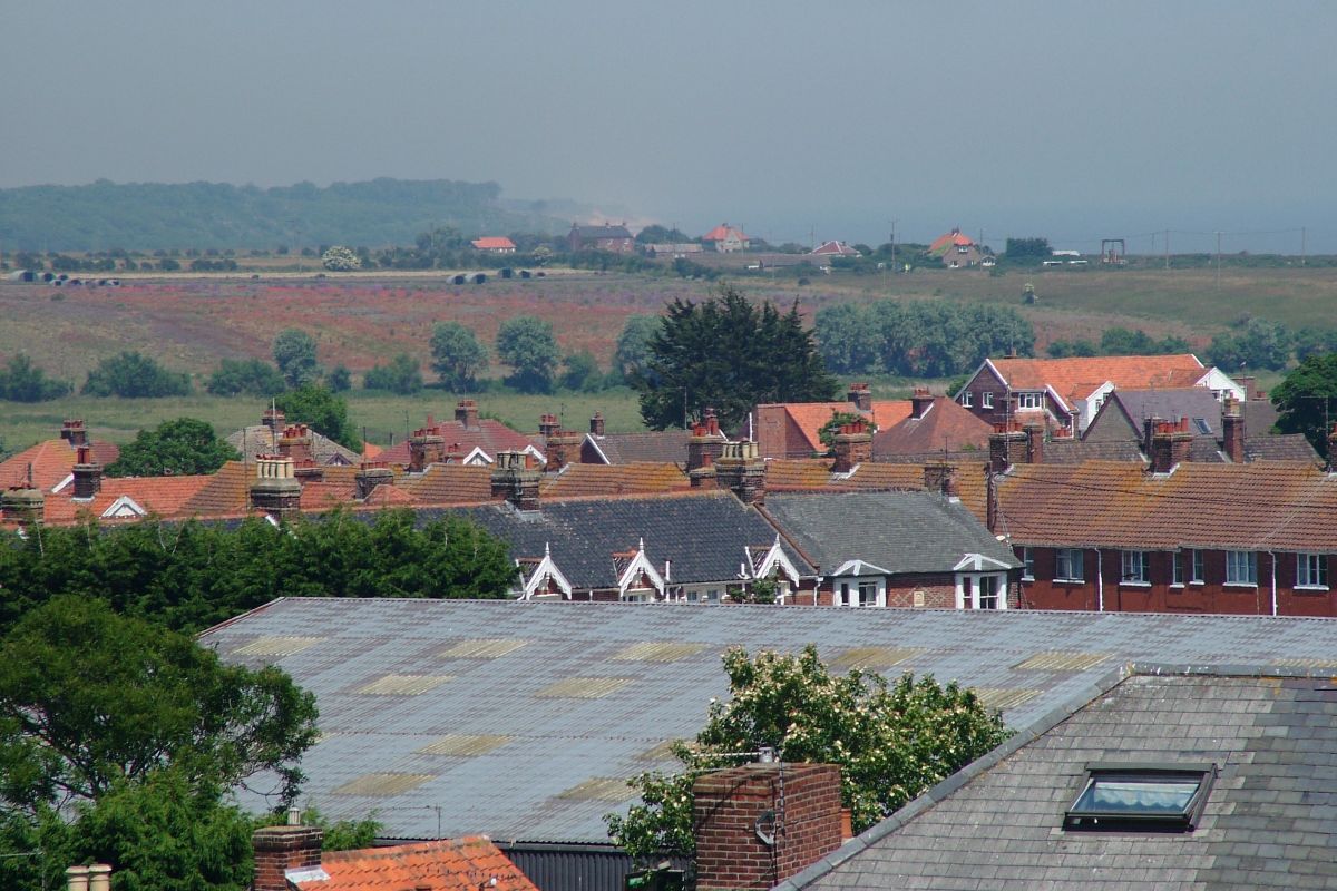
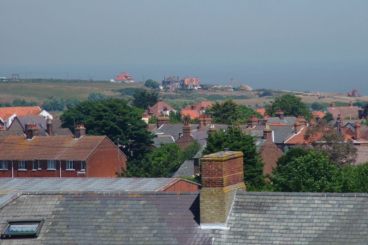
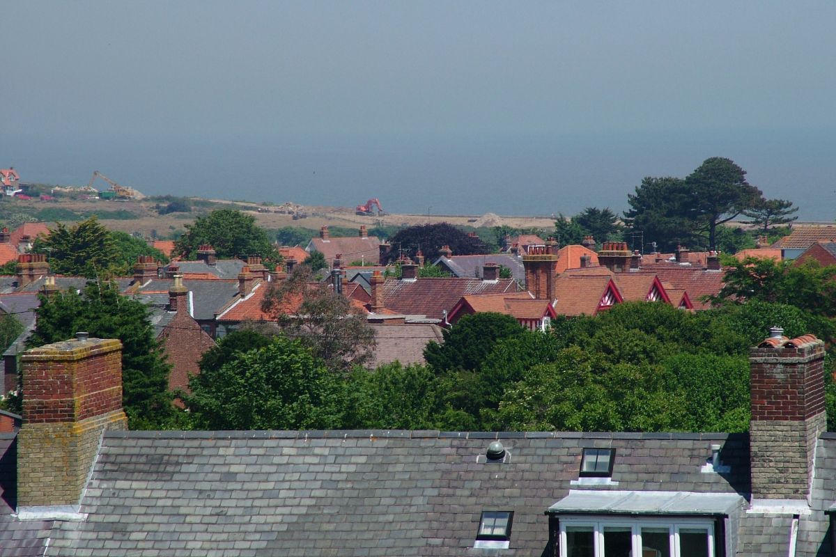
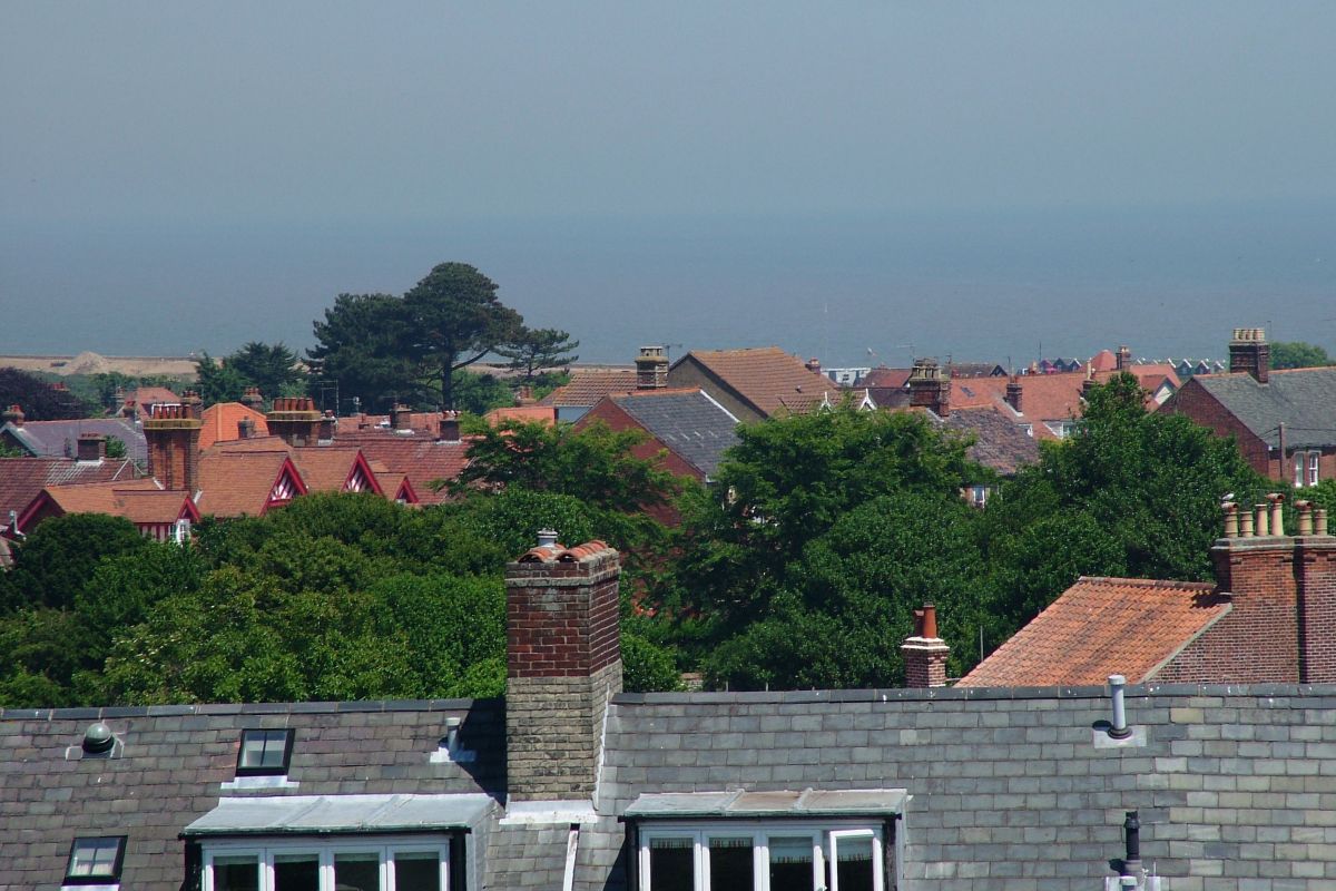
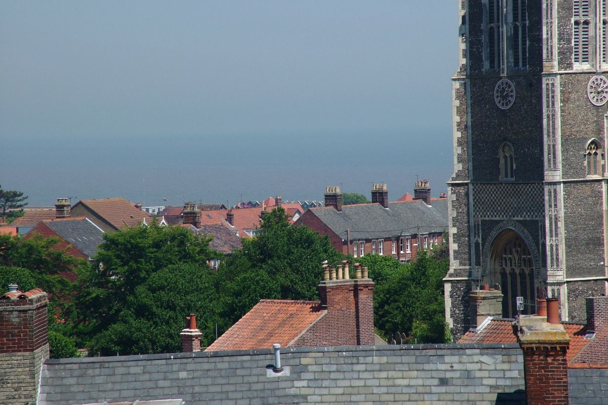
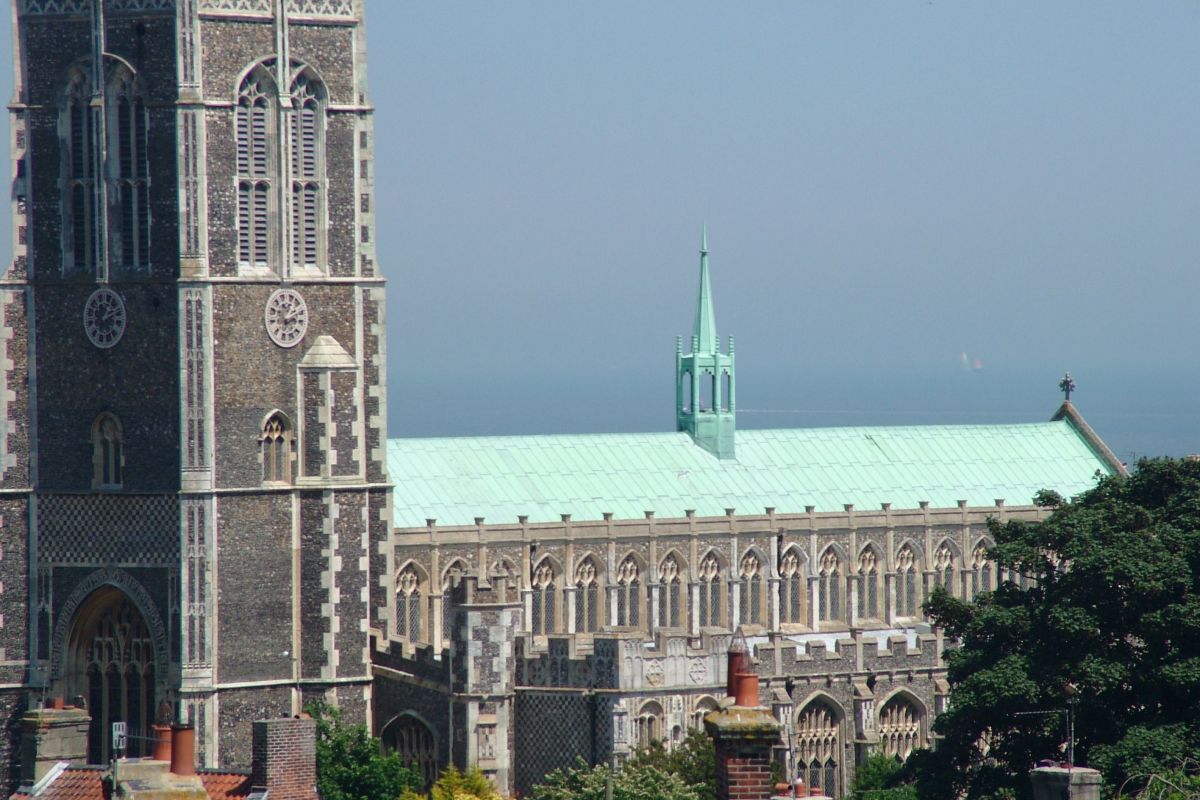
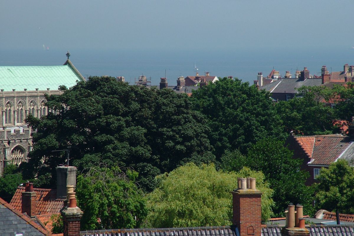
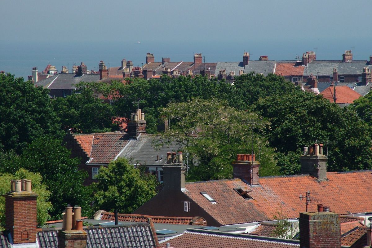
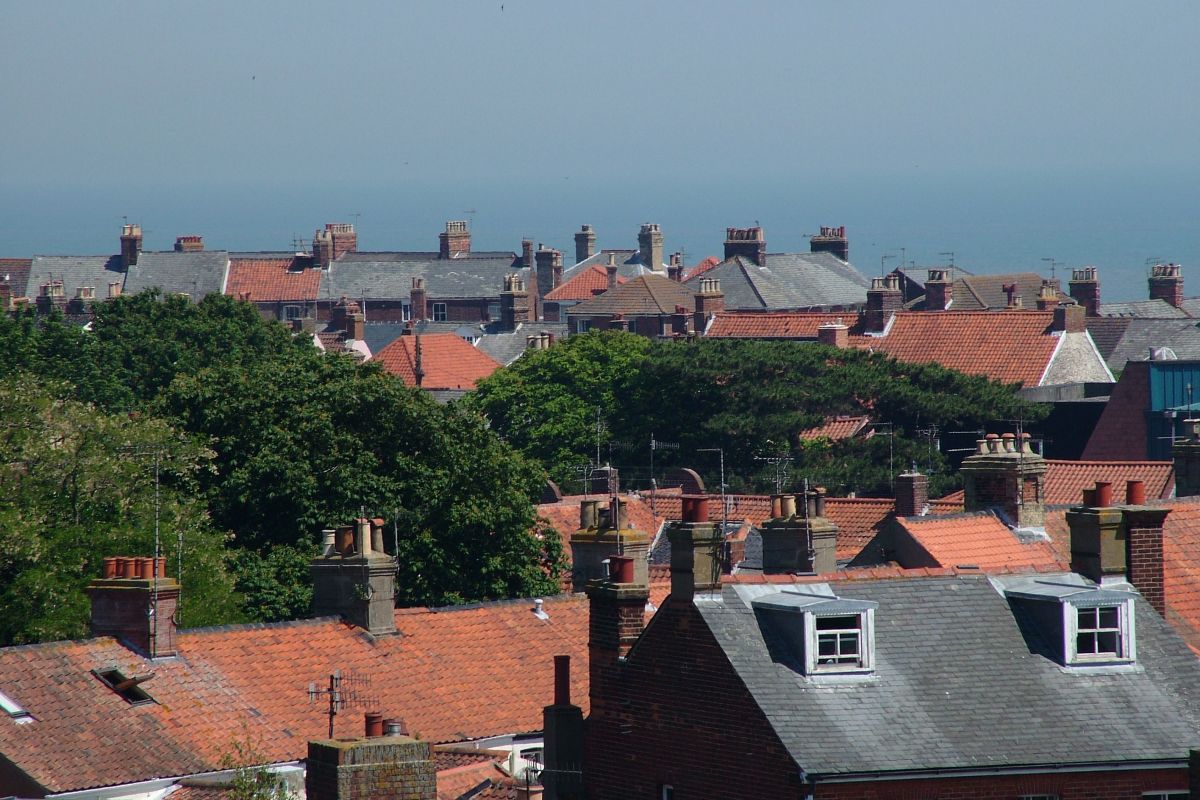
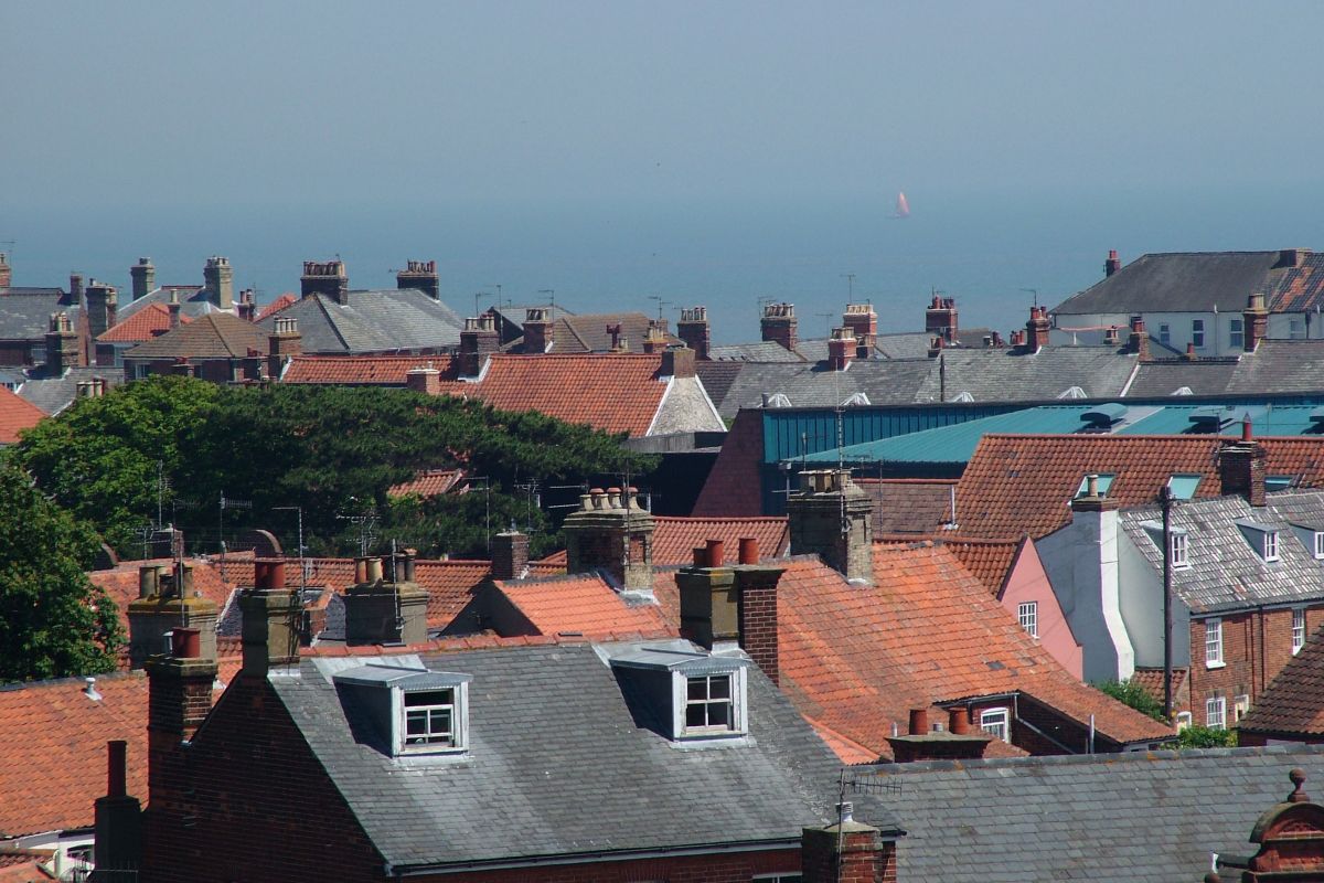
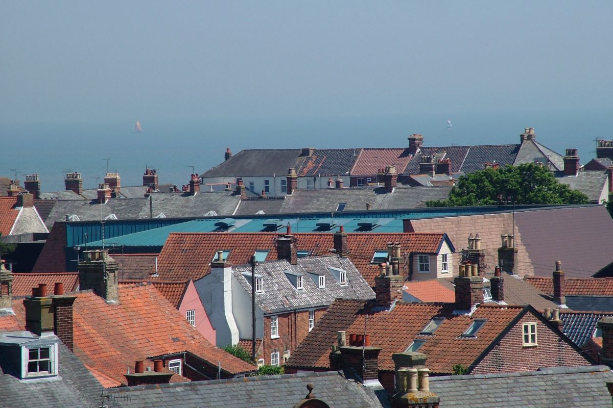
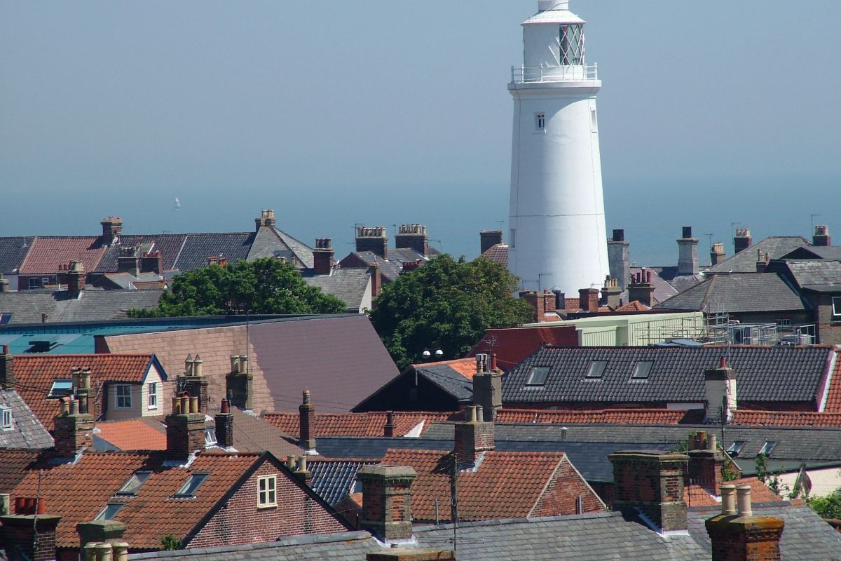
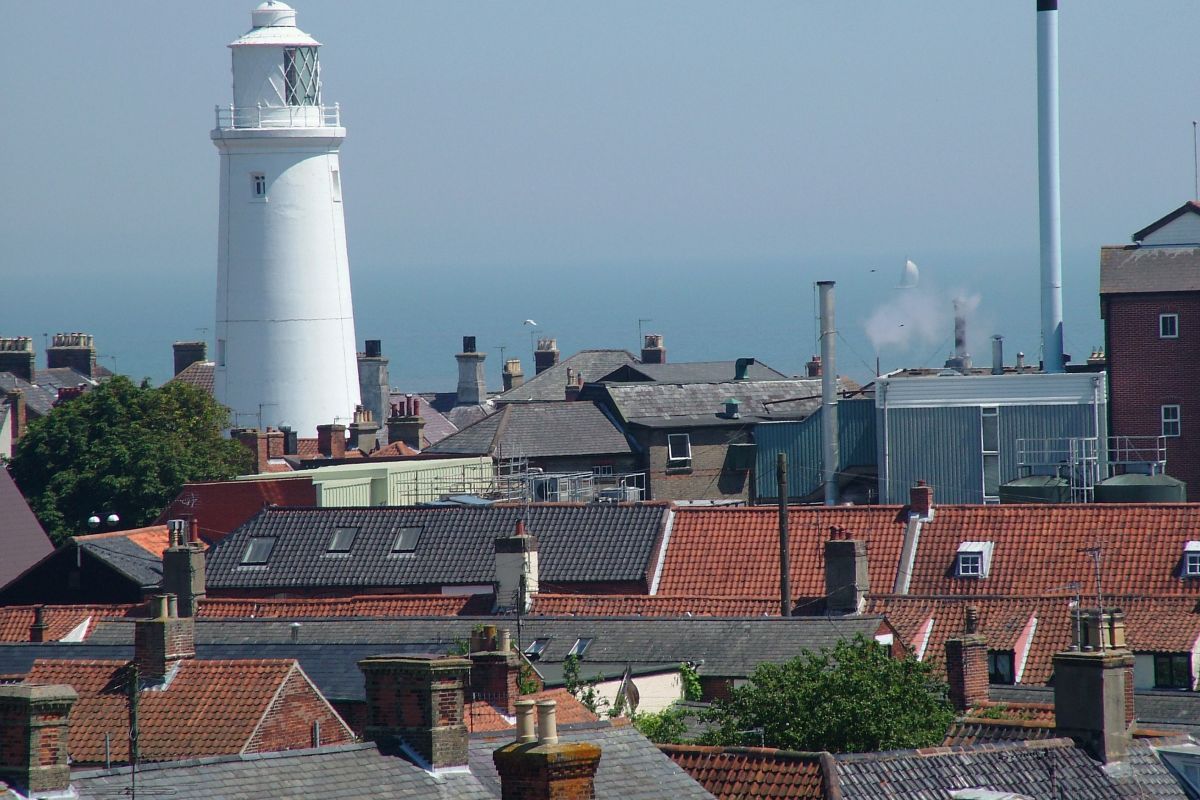
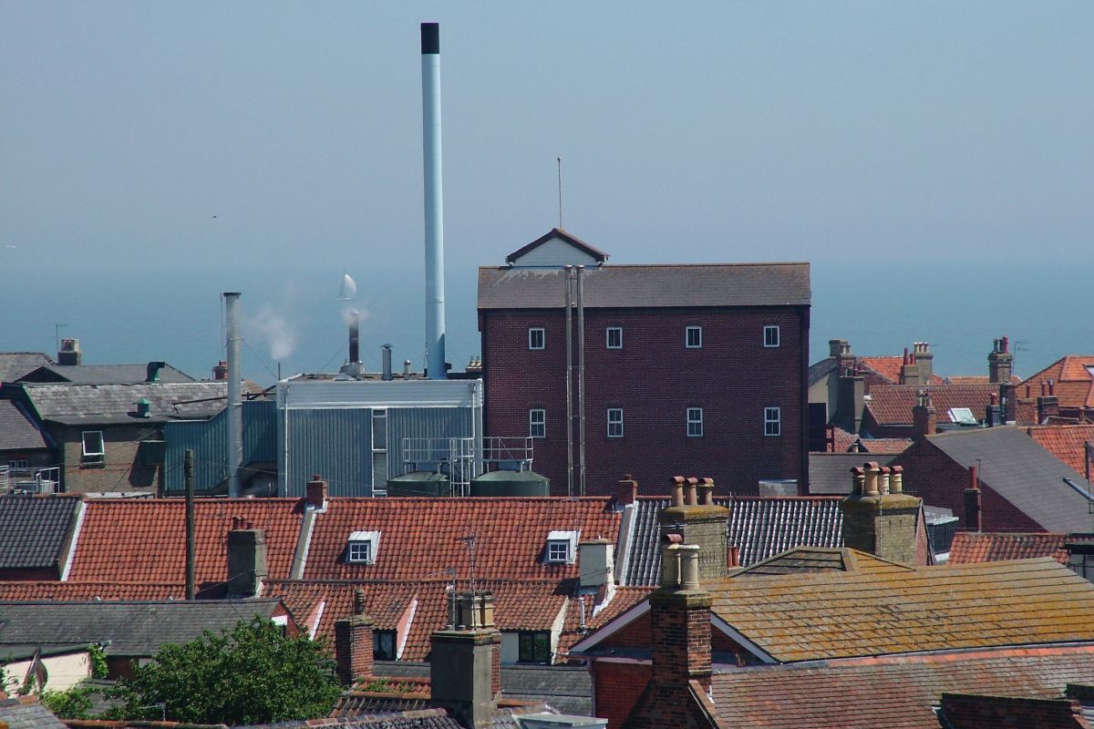
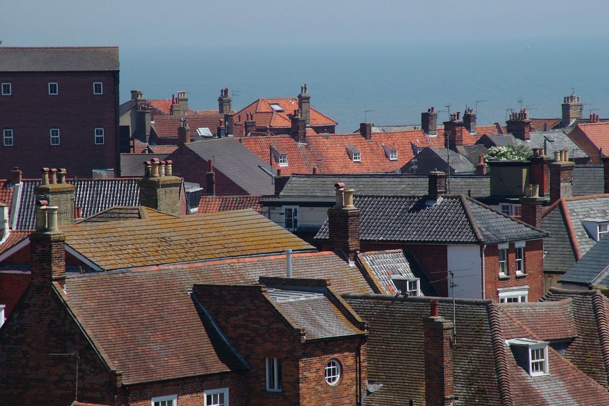
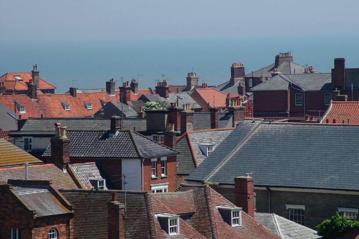
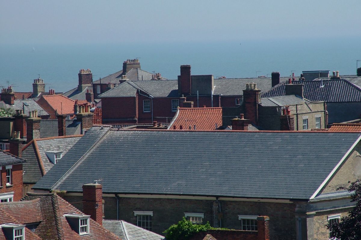
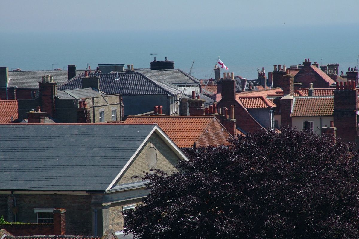
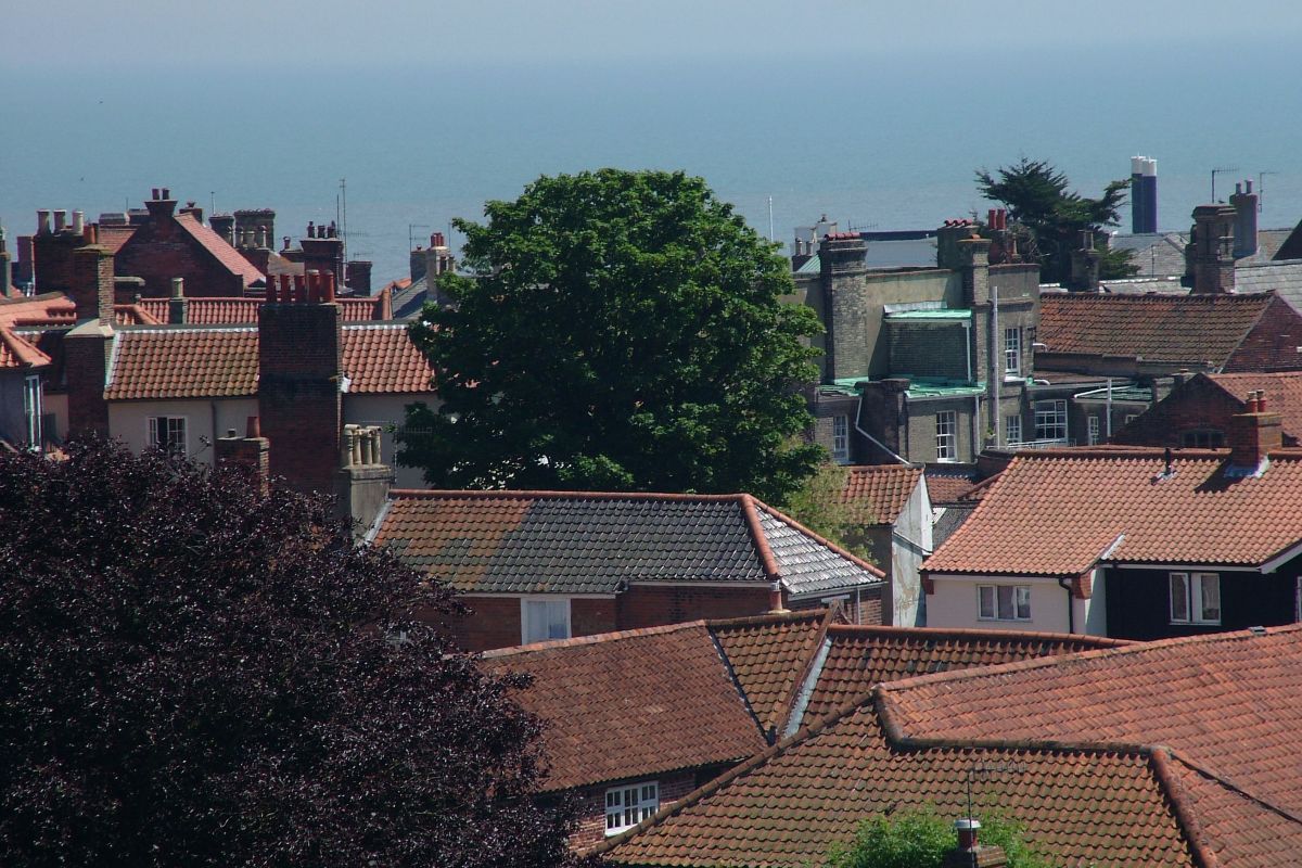
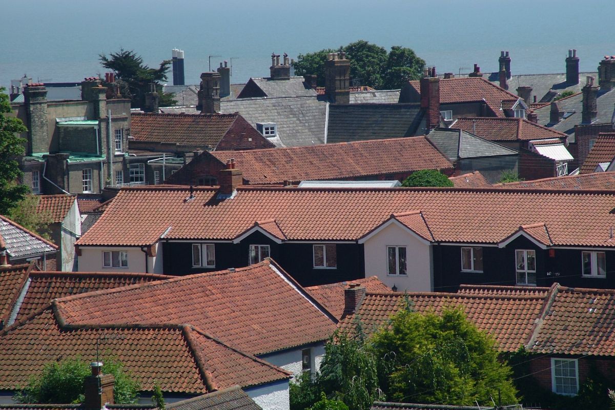
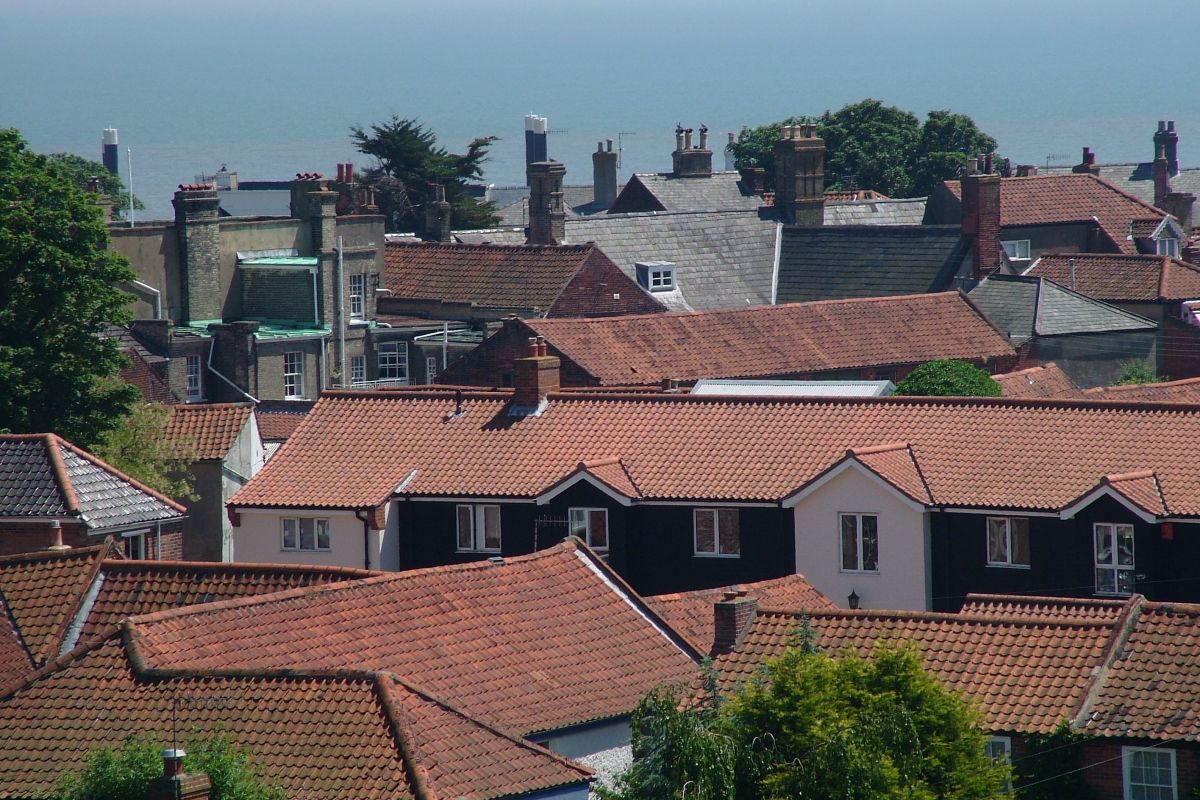
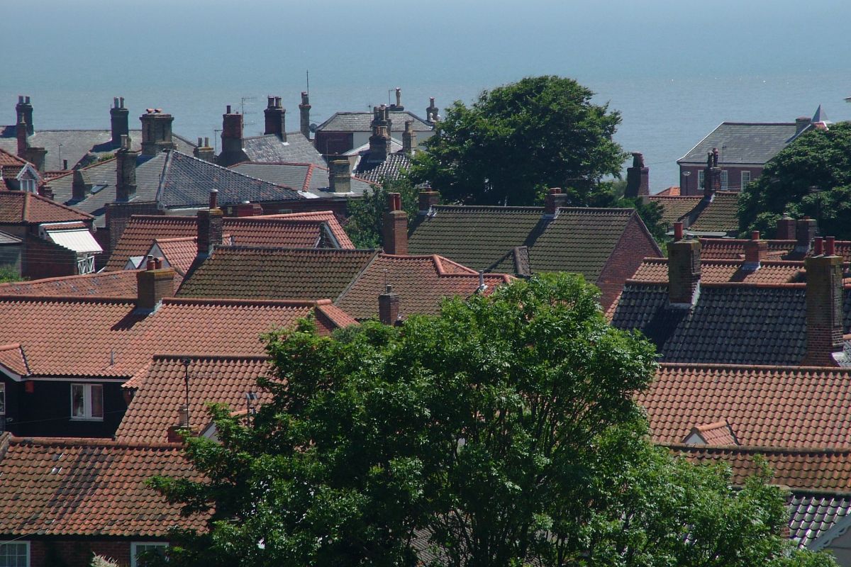
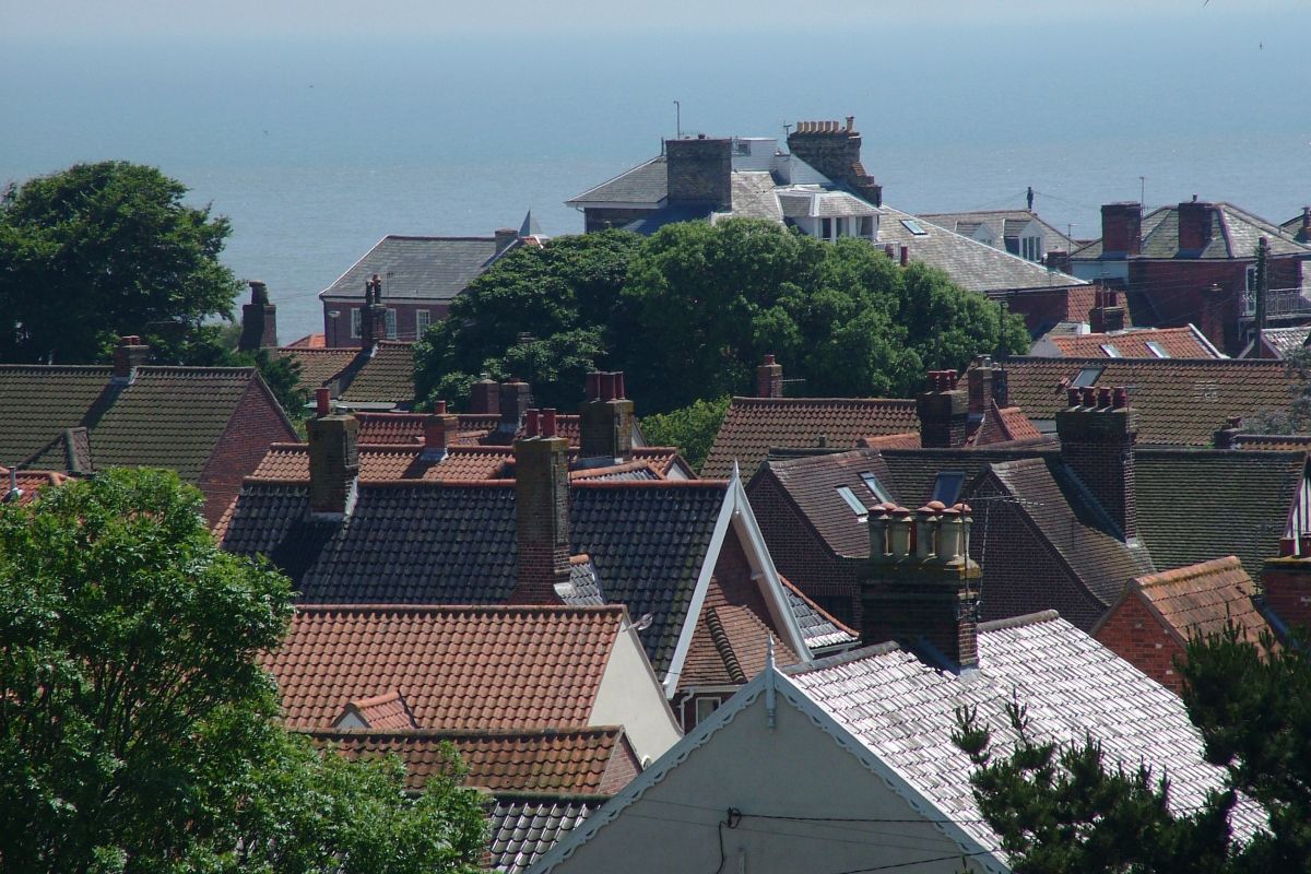
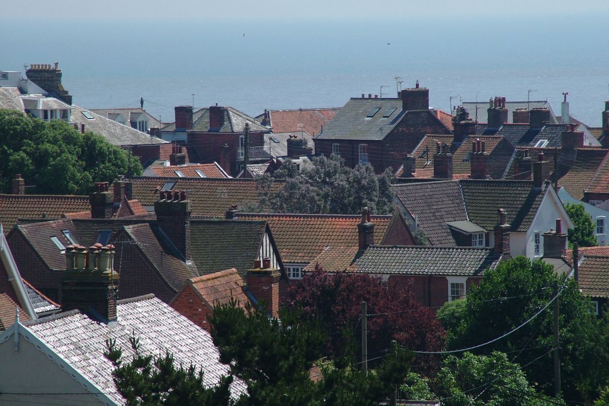
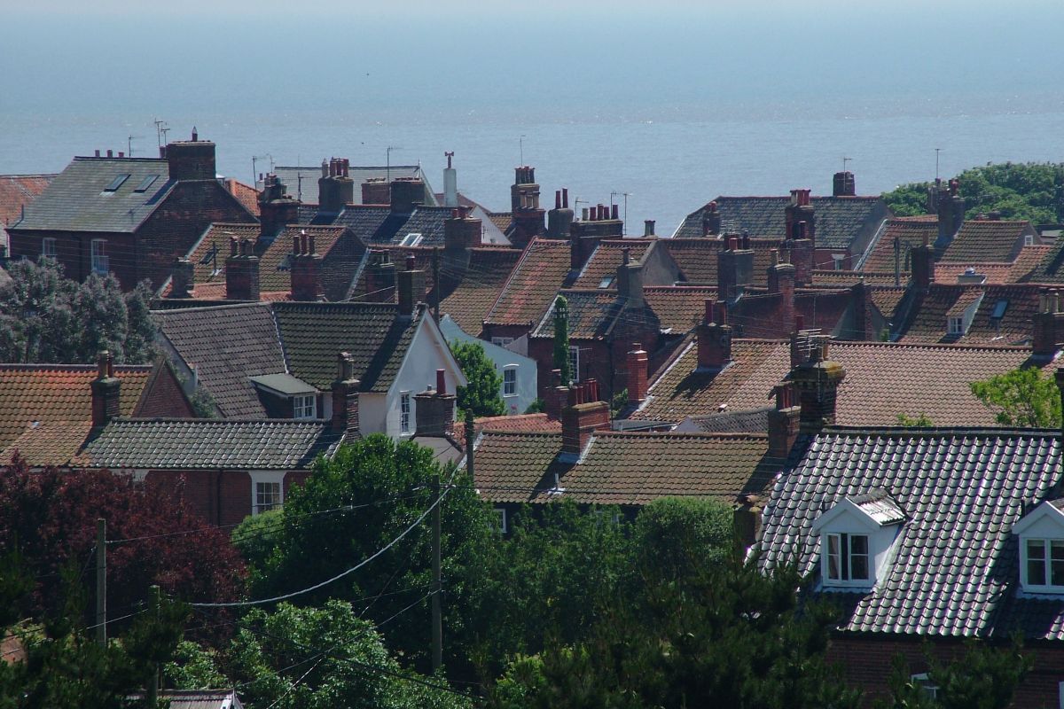
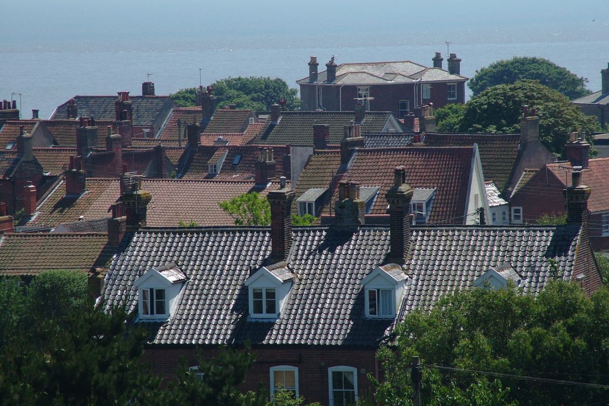
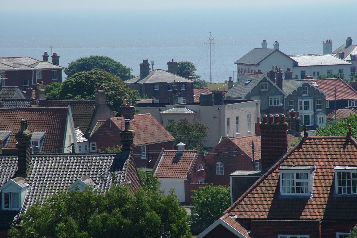
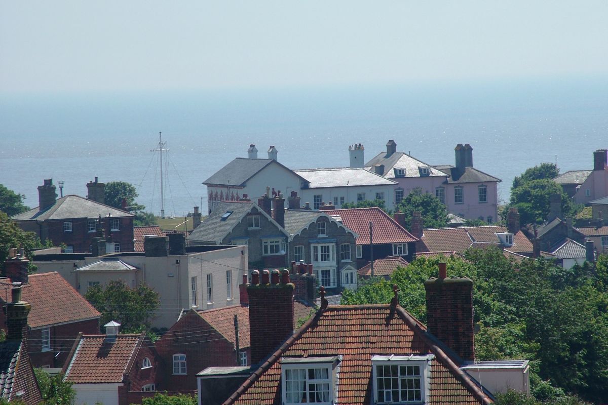
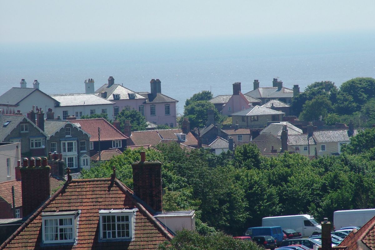
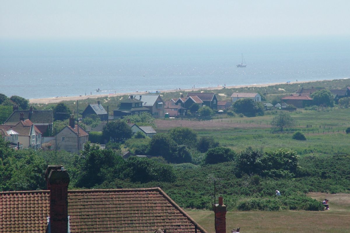
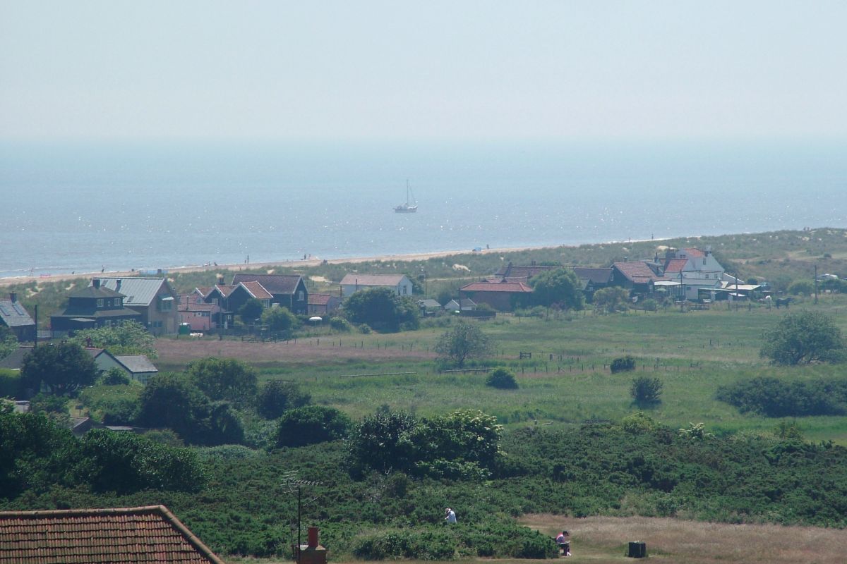
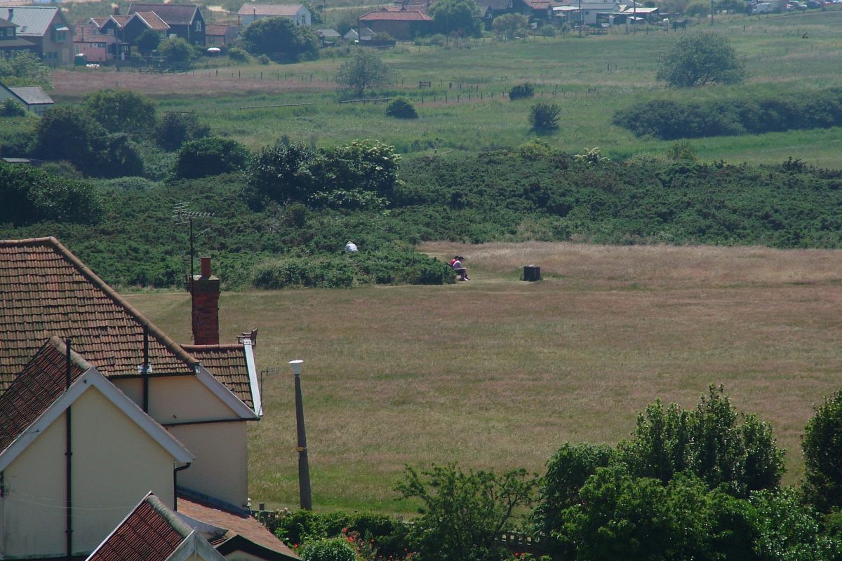
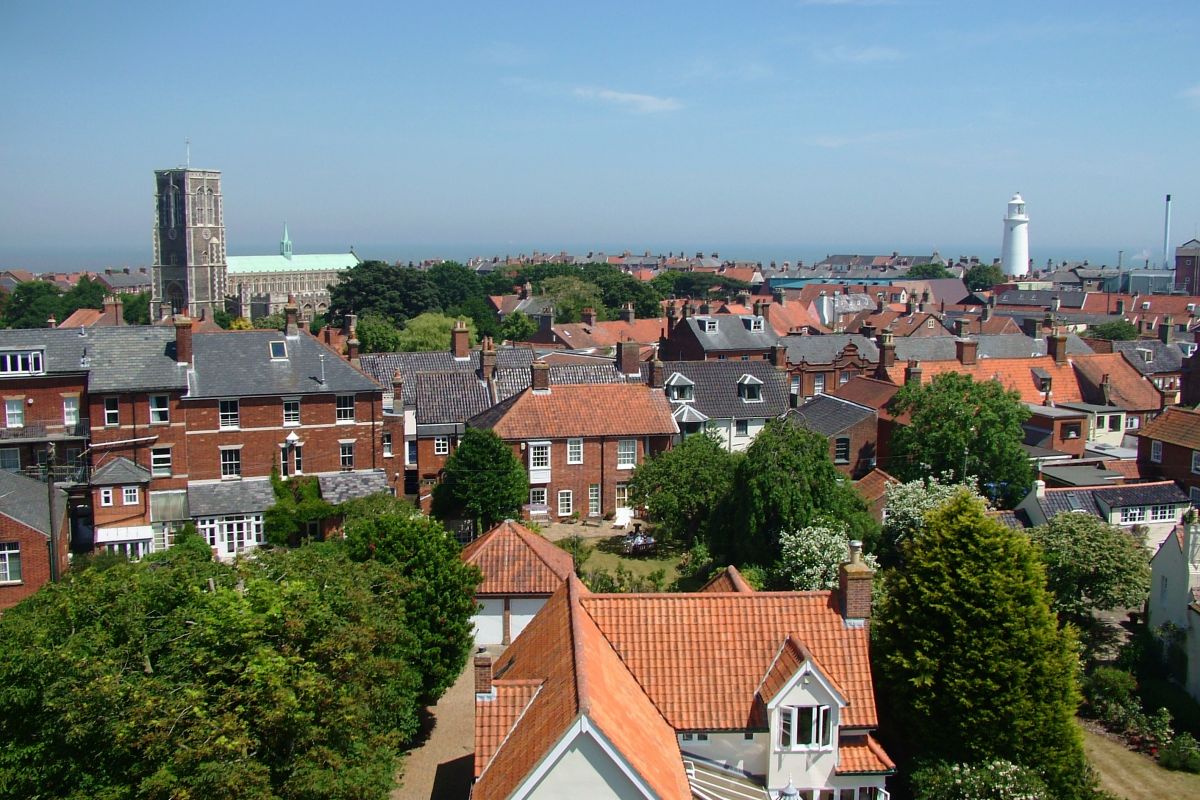
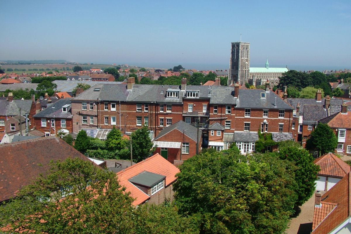
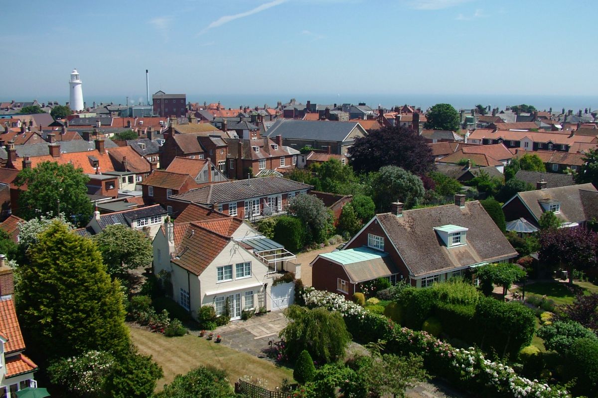
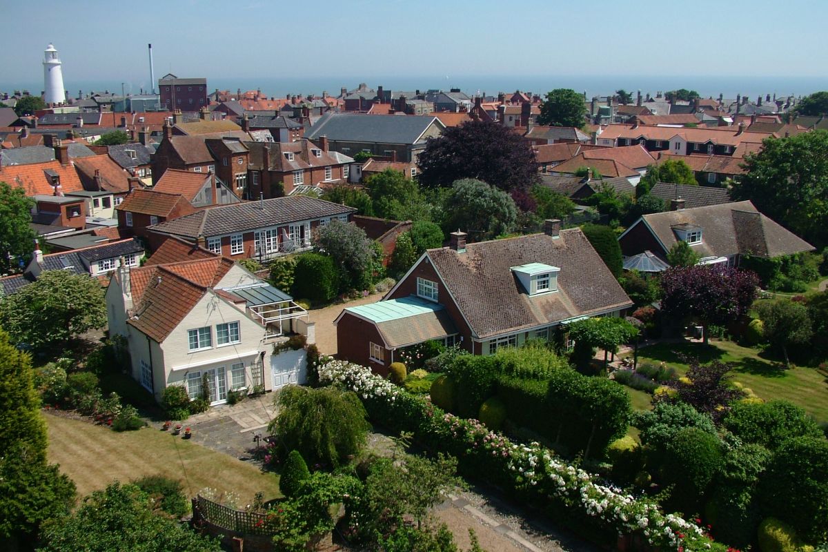
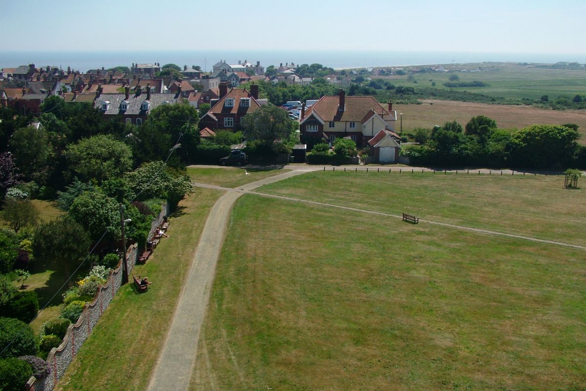
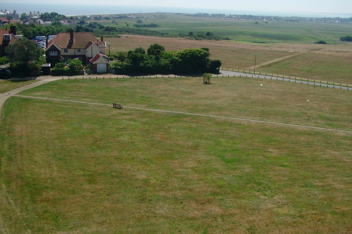
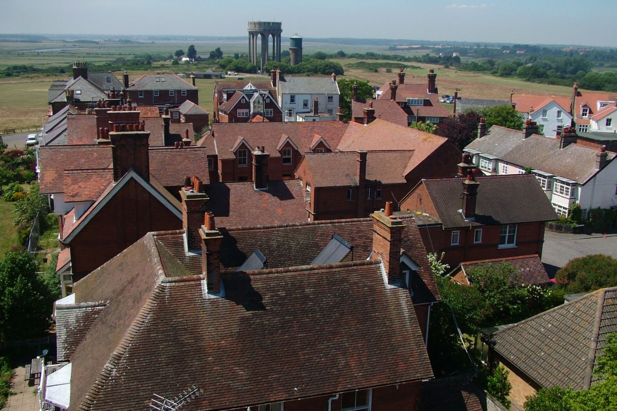
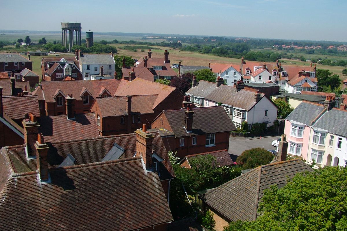
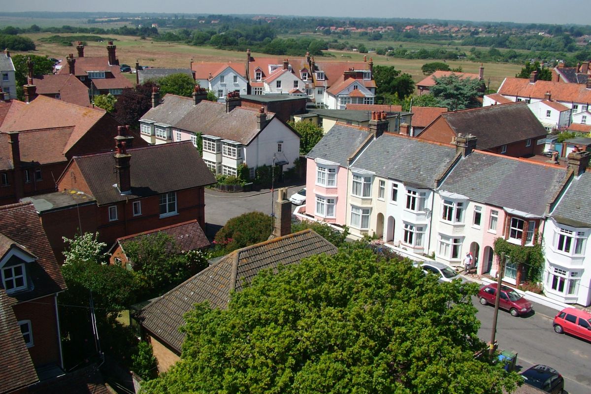
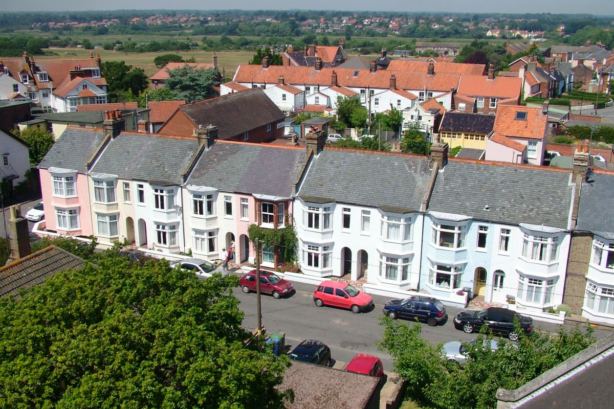
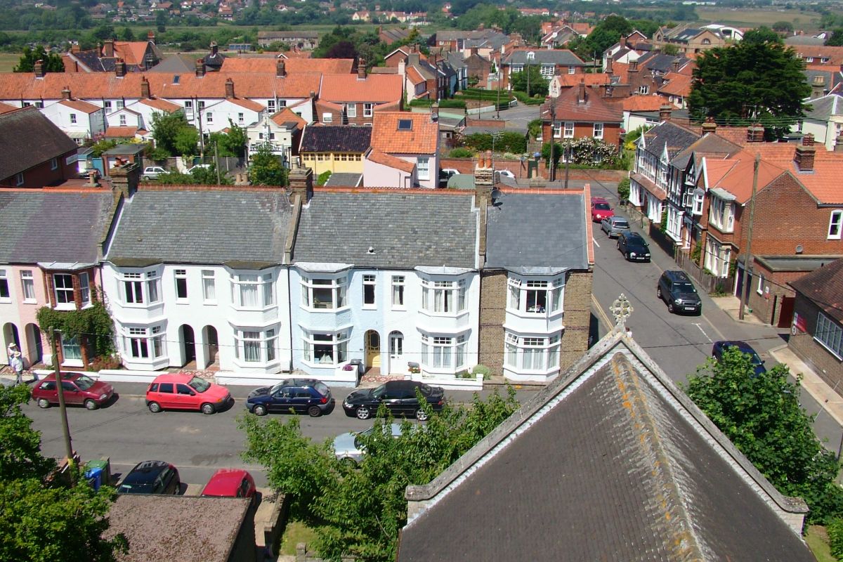
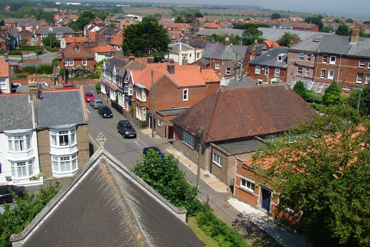
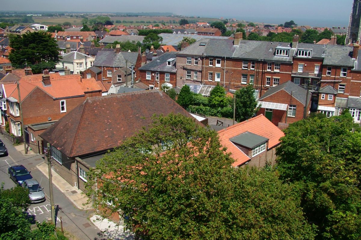
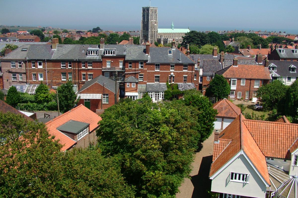
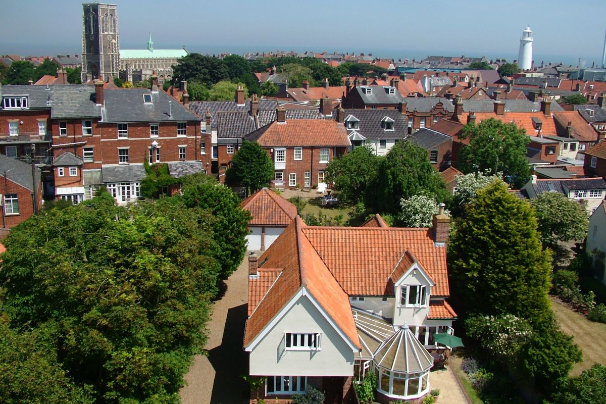
A rooftop view across Southwold on a fine summers day

Here you can see thumbnails for all the photographs from the Southwold Panorama. Looking out over Southwold on a lovely day in Summer 2006, from the top of the tower of the Roman Catholic Church of the Sacred Heart, Southwold. We thank all at the Church who made it possible to bring you this Southwold Panorama Slideshow.

Click on any thumbnail to show the full picture, and clicking on the left/right edges of the picture (or pressing the left/right arrow keys) will go to the next picture, so you will be able to watch a full slideshow as you turn around the church tower!

1: Looking out over Southwold on a lovely day in Summer 2006, from the top of the tower of the Roman Catholic Church of the Sacred Heart. Starting by looking to the East; here St Edmunds Church stands to the left and Southwolds famous lighthouse to the right.  The High Street is down there somewhere !2: Now with the lighthouse on the left and with the Adnams Brewery also towering over the Southwold roofscape. The camera is moving round in a clockwise direction. The sea is a gorgeous blue in the distance.3: These lovely gardens with their lawns, shrubs and trees are bounded by a rose-filled hedge and attractive pebble-and-flint wall. 4: With the pebble-and-flint wall as a backdrop some have time to sit awhile on just a few of Southwolds many seats, and on such a sunny day this is a real pleasure.  The camera is now panning on to Southwold Common. From the edge of the Common here there are views to Southwold Harbour and across the River Blyth to Walberswick to be enjoyed.  5: The open view to Southwold Harbour and across the River Blyth to Walberswick - although some spurn a seat and enjoy instead the pleasure of lazing on the warm grass itself, under a wide Suffolk sky.  6: Southwold Common basks in the sunshine of the summer of 2006. The Common was given to the town in 1509 from the Will of William Godyll and is well over a hundred acres in size.  Godyll Road borders part of the Common and crosses the centre of this photo. 7: Looking away from the coast and with the water towers on the Common clearly in view. Nowadays joyful Kite-flying usually takes place on Southwold Common but for most of the 1800s Black Mill windmill stood at the far end of these properties, using the wind for more prosaic purposes.8: Parts of Reydon are now in view in the distance as we continue our clockwise sweep around Southwold.  9: Looking directly inland, over the Church roof. The frontage of the Electric Picture Palace in Blackmill Road can be seen to the left of the yellow garage doors. The Electric Picture Palace was opened by Michael Palin in May 2002. To see the photos of this event and to know more about the cinema and its current programme go to the Cinema section of this website.10: Southwold High Street is now just to the right hand side of this view as we continue our clockwise sweep.11: The coastline comes back into view over the rooftops as we complete our first circle back to St.Edmunds Church, just visible on the right of the picture.12: Zooming in now on St.Edmunds Church. This fine building dates from the late 1400s with an exterior notable for its patterned chequer-work, flushwork, clock and roof. The interior features a beautiful painted medieval screen, and Southwold Jack - both of which artworks merit a visit. There is much else to discover inside and out at this impressive building.13: Looking over the rooftops out to sea. In May 1672 a sea battle was fought here in Sole Bay between the allied fleets of the English and French against the Dutch. The Southwold Town Sign depicts galleons at sea in recognition of this event. The Sign stands at the junction of Victoria Street and High Street and is also featured on this website in the About Southwold section. 14: There are many different styles and ages of house building of recent centuries in Southwold. Through a devastating fire in the town in April 1659 Southwold suffered the destruction of many hundreds of dwellings and important public buildings. This is why few buildings pre-dating 1659 survive, with St.Edmunds Church as a particular exception. 15: As a consequence of the devastating fire of 1659 several Green areas were established throughout the town where once buildings had stood. The Greens are all named, are of various sizes and are a wonderful asset to the town. 16: Sailors are out on the sea in the distance as we pan back to the pretty gardens of properties adjacent to Southwold Common.18: A close-up of the Electric Picture Palace cinema, a triumph of local vision and skill.19: Note on the right the lovely trees of St.Bartholomews Green, (Victoria Street), next to St.Edmunds Church. Replicas of Southwolds stocks are at Bartholomews Green.22: Looking across Southwold Common where Southwolds landmarks include these water towers.23: This scene is dominated by the trees of St.Bartholomews Green, (Victoria Street), next to St.Edmunds Church.  Replicas of Southwolds stocks are at Bartholomews Green. Close to the church is Southwolds Primary School and also St.Edmunds Hall, both in Cumberland Road on one side, and childrens play equipment on the Green on the other side.24: Trees, roofs, chimneypots, sea and sky - this view would make a challenging jigsaw!25: Veering away now from the High Street and Market Place we see  new buildings blending in with the old.26: Southwold stands on a rise in the ground so from our vantage point we are unable to see any of the main town beach which is, of course, at sea level.27: But always the sea. Southwold would not be Southwold without it.28: Steadily heading clockwise away from the High Street and centre of town towards Southwold Harbour and beyond.29: The sea looks most inviting today. To see Southwold from sea level take one of the short Waberswick Boating trips from the Harbour, or venture further afield on one of their longer trips.30: Not too many people indoors watching TV today - despite those aerials scraping the skyline !31: Looking over the town to Gun Hill on which stand six Elizabethan cannon lined-up and pointing out to sea. Also at Gun Hill stands this flagpole, centre picture, and the Southwold Beacon just to the left of the flagpole, peeking over a rooftop.32: The Beacon is lit at eveningtime on special public celebratory occasions and makes a glorious marker in its very  special clifftop setting. 33: The free car park in the foreground is full as visitors have come to enjoy all that Southwold has to offer.34: Looking across part of Southwold Common and the Town Marshes to the sea, where people are making the most of the day. 35: The line of houses in the middle distance mark the route of Ferry Road. Ferry Road runs parallel with the beach and links the Town to the Harbour.36: In its turn there is a footpath to Southwold Harbour from the edge of town - join it opposite the junction of Queens Road and Gardner Road. This footpath also runs parallel with the beach and Ferry Road but is inland from both.37: The distance between the town and Southwold Harbour by Ferry Road is about one mile. The bus service 521 also links the two, with stops at both the Market Place and the Harbour.38: Ferry Road, as might be expected, links to a ferry. The ferry crosses the River Blyth at Southwold Harbour, to Walberswick. This is no ro-ro ferry but just for people, dogs and bicycles and takes the form of a rowing boat, oars, muscles and skill. Operating times can be found on the link from the Village Map page of www.explorewalberswick.co.uk . The road link is via the A12 and is about 14 miles.39: The Caravan and Camping site at Southwold Harbour is now in view on the left of the photo, with the businesses and houses alongside the River Blyth marking the inland course of the river.40: The building on the right is in fact in Walberswick, as are the dunes and beach in the centre of the photo. The shadowy vague outline of the Sizewell Power Station lurking further along the coast can just be seen to the left on the far side of the bay.41: Cattle graze the Town Marshes with the River Blyth crossing the centre of the photo. More of Walberswick begins to appear on the other side of the River Blyth. You can walk along either river bank to soak up the atmosphere and enjoy this very different aspect of Southwold.42: The Harbour stretches along the River Blyth and is always an interesting place to be as it is no flashy Marina, but a working place with lots of nautical-based activity going on. Many different types of craft are moored or are moving on the river. The River Blyth crosses centre-picture.43: Appearing now on the right is St.Andrews Church in Walberswick.44: Go to the Panorama section on the menu of www.explorewalberswick.co.uk to see the slideshow taken from the top of the tower at St.Andrews Church, Walberswick. It of course includes this view from the Walberswick angle !45: The road alongside the Southwold bank of the River Blyth now turns back to the town, crossing the Common, handily shown here by the ubiquitous white van. (They really do get everywhere !).46: Southwold golfers in the foreground, the water tower near Blythburgh on the skyline. A hundred years ago the Southwold Railway (1879 -1929) chuffed its way across this scene, en-route from Halesworth to Southwold, with stations at Wenhaston, Blythburgh and Walberswick. The line crossed the River Blyth where there is now a footbridge, handy for both walkers and cyclists.47: Buss Creek, which the one road into Southwold crosses, links to the River Blyth here. In effect Southwold is virtually ringed completely by water, restricting long-term development and helping the town to remain so special.48: The old wind pump stands by the River Blyth. Now derelict it was built to drain the marshes. 49: On Southwold Common are a Golf Club and tennis courts with plenty of space too for other sports such as Rugby.50: The countryside of inland Suffolk stretches away in the distance in the haze of a hot sunny day, as the Water Towers of Southwold Common come back into view.51: The Circus visits Southwold annually in the summer and sets-up the big top near to the Water Towers on Southwold Common.52: Reydon Marshes line the River Blyth in the distance. Meanwhile, in the foreground, cars are parked at no charge on  either side of York Road where it begins to cross Southwold Common.53: All of this open space in the foreground is available for walking and recreation - note the picnic taking place bottom left of the photo !  Screened by the trees in the middle of the photo are the town sewage works and the excellent household waste facility, accessed from the turning alongside the Police Station (Blyth Road).54: In the distance are the the buildings of Saint Felix School set in their lovely grounds. For over one hundred years this was exclusively a school for girls but is now co-educational.55: Housing in Reydon can be seen across the marshes as Buss Creek, hidden from view, winds its way towards the coast. Buss is an old name for a type of small fishing boat.56: In the middle-distance are the Southwold allotments, mainly hidden by trees. Reydon is the backdrop.57: There are footpaths on both banks of Buss Creek, accessed from Mights Bridge.58: The tall tower of St.Margarets Church at Reydon appears among the trees in the distance.59: Just on the far side of these houses in the foreground the Southwold Railway of one hundred years ago would be approaching the Southwold station and end of the line. 60: The Southwold Railway station was in the area where the Fire Station and Police Station now stand - a plaque on the wall of the Police Station records this - so hence the street name of Station Road, which becomes the High Street.61: The tall trees in the middle distance to the right mark the line of the only road in to and out of Southwold, the A1095.  Travelling to Southwold you cross Buss Creek at Mights Bridge, leaving Reydon behind - and you are in Southwold ! 62: The tree in the centre foreground shows the location of  Barnaby Green, just off Station Road / High Street. Looking back now along Southwolds only road entrance and exit, and site of Southwolds only road roundabout.63: The large tree centre left marks the location of North Green with the Southwold Library nearby.64: This coast is no stranger to erosion. Indeed Sole Bay was a proper sheltered bay with the land to the north and to the south extending about a mile into the sea. At the southern arm stood Dunwich, a mighty and important city, nowadays reduced to being a coastal village. The greater part is under the sea. 65: Continuing our clockwise sweep round, Pier Avenue forms the edge of Southwold housing to the north of the town. Pier Avenue, of course, leads to the Pier, and is a wide, pleasant road. 66: More Adnams buildings close to the foreground here, standing just off Station Road. 67: Adnams in the foreground, the sea in the distance. Cliffs north of Southwold can now just be seen along with the scattered housing of that area.68: Look closely and you can see the works underway to halt or delay the seas attempts to claim the land north of Southwold.Southwold Panorama Picture 6970: Nearing the end now of our slideshow, photographed in the summer of 2006, we hope you have enjoyed this different view of Southwold. 71: From our vantage point from the top of the tower of the Roman Catholic Church of the Sacred Heart we have seen much of Southwold and its setting in this slideshow and again thank all who made this possible. But despite all we have seen we cannot leave Southwold without just a glimpse of some of the famous beach huts - here peeking above the rooftops in the centre of the photo.Southwold Panorama Picture 72Southwold Panorama Picture 73Southwold Panorama Picture 74Southwold Panorama Picture 75Southwold Panorama Picture 76Southwold Panorama Picture 77Southwold Panorama Picture 78Southwold Panorama Picture 79Southwold Panorama Picture 80Southwold Panorama Picture 81Southwold Panorama Picture 82Southwold Panorama Picture 83Southwold Panorama Picture 84Southwold Panorama Picture 85Southwold Panorama Picture 86Southwold Panorama Picture 87Southwold Panorama Picture 88Southwold Panorama Picture 89Southwold Panorama Picture 90Southwold Panorama Picture 91Southwold Panorama Picture 92Southwold Panorama Picture 93Southwold Panorama Picture 94Southwold Panorama Picture 95Southwold Panorama Picture 96Southwold Panorama Picture 97Southwold Panorama Picture 98Southwold Panorama Picture 99Southwold Panorama Picture 100Southwold Panorama Picture 101Southwold Panorama Picture 102Southwold Panorama Picture 103Southwold Panorama Picture 104Southwold Panorama Picture 105Southwold Panorama Picture 106Southwold Panorama Picture 107Southwold Panorama Picture 108Southwold Panorama Picture 109Southwold Panorama Picture 110Southwold Panorama Picture 111